Loading...
Loading map...2023 Map of Trinway
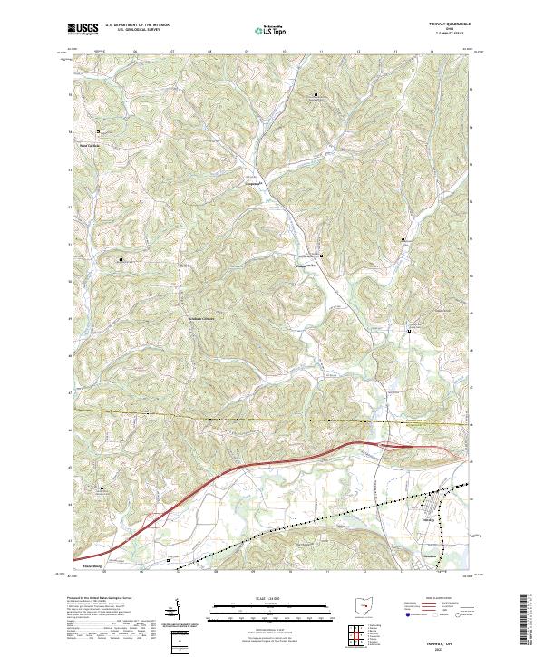
USGS Topo · Published 2023About this map
Trinway and the northern outskirts of Dresden anchor this landscape along the border of Muskingum and Coshocton Counties. The terrain is defined by the winding course of Wakatomika Creek and its many tributaries, including Little Wakatomika Creek, Steffee Run, and Opossum Run. These waterways carve through prominent elevations such as Graham Ridge and Irish Ridge, which have historically dictated the placement of small settlements and family farmsteads.
Find a feature on this map
94 named features on this map. Tap any name to fly to it.
Don’t see what you’re looking for? This feature index may not catch every label — zoom into the map to look around manually.
Map Details
Date Portrayed2023
Date Published2023
PublisherU.S. Geological Survey
Map TypeTopographic
Scale1:24000
Physical Dimensions24 x 29 inches
Editions of this 2023 Trinway Map
This is the sole edition of this map. No revisions or reprints were ever made.
Historical Maps of Virginia Township Through Time
Featured Locations
Source Details
SourceU.S. Geological Survey
CopyrightPublic Domain