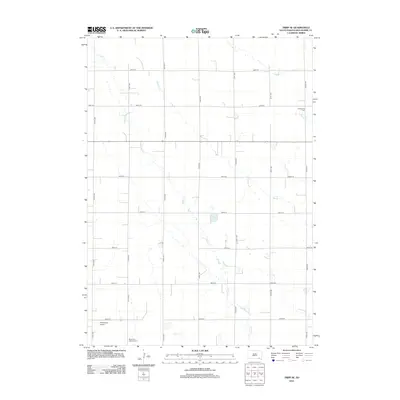
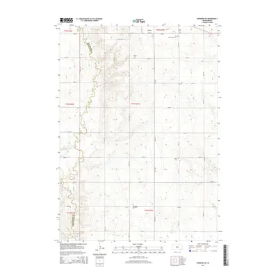
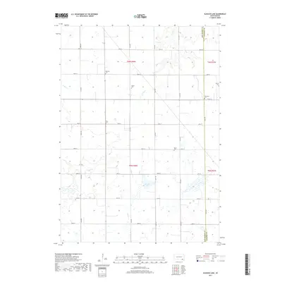
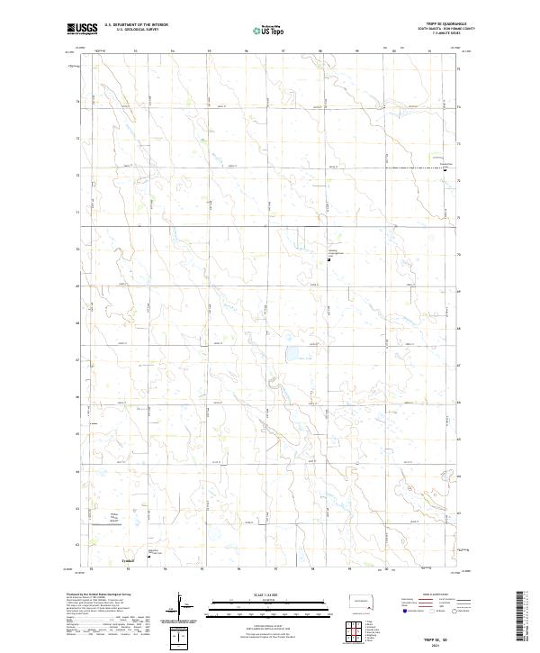
1978 Map of Tripp SE
USGS Topo · Published 1978About this map
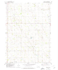
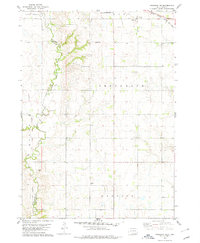
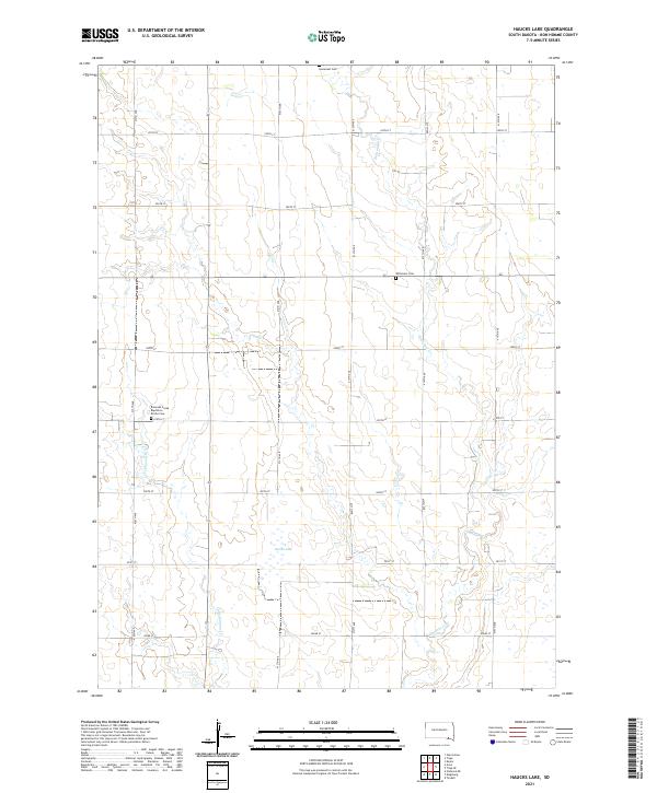
Tyndall anchors the southwestern corner of this Bon Homme County landscape during the late 1970s, serving as a primary point of reference for the surrounding rural townships. The map documents a structured agricultural grid defined by Washington, Jackson, and Lincoln townships, where the terrain is gently drained by Snatch Creek and Beaver Creek. A central hydrological feature, Clear Lake, sits in the heart of the quadrangle, while the land is dotted with markers of early European settlement and community organization. Cultural preservation is evident in the presence of the Bohemian National Cem and the Freidensthal Cem, reflecting the heritage of the families who worked these fields. Local education is represented by rural schoolhouses such as Blaha Sch and Nedved Sch, which were still distinct landmarks in the area during this 1970s survey.
Find a feature on this map
14 named features on this map. Tap any name to fly to it.
Don’t see what you’re looking for? This feature index may not catch every label — zoom into the map to look around manually.
Map Details
Editions of this 1978 Tripp SE Map
This is the sole edition of this map. No revisions or reprints were ever made.
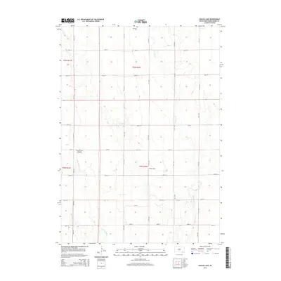
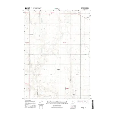
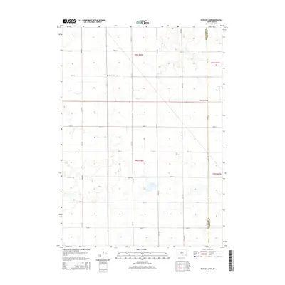
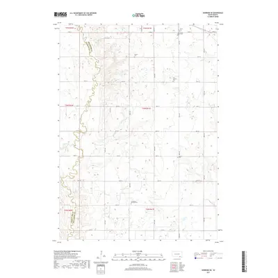
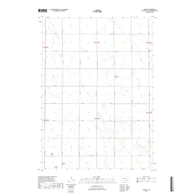
Historical Maps of Washington Township Through Time
25 maps found
1978 Haucks Lake
Bon Homme County, SD
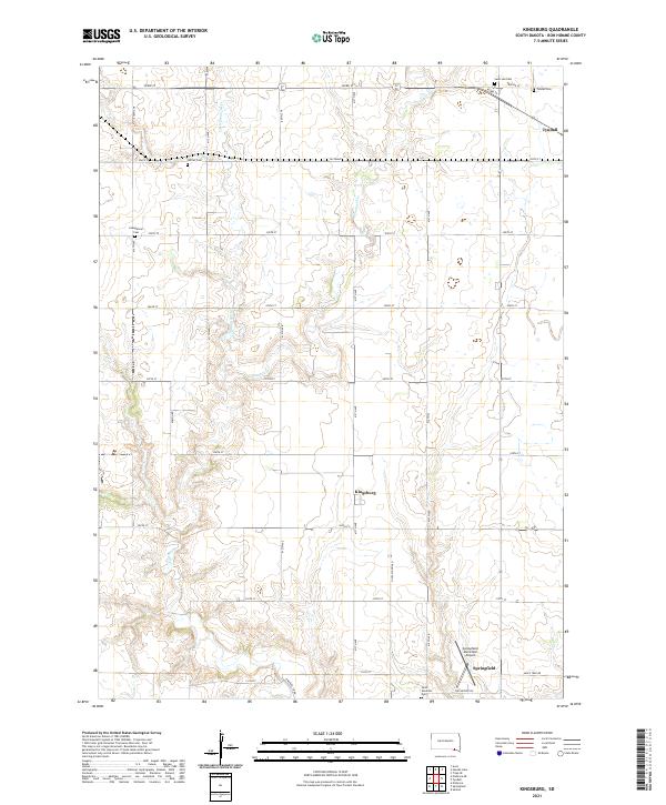
1978 Kingsburg
Bon Homme County, SD
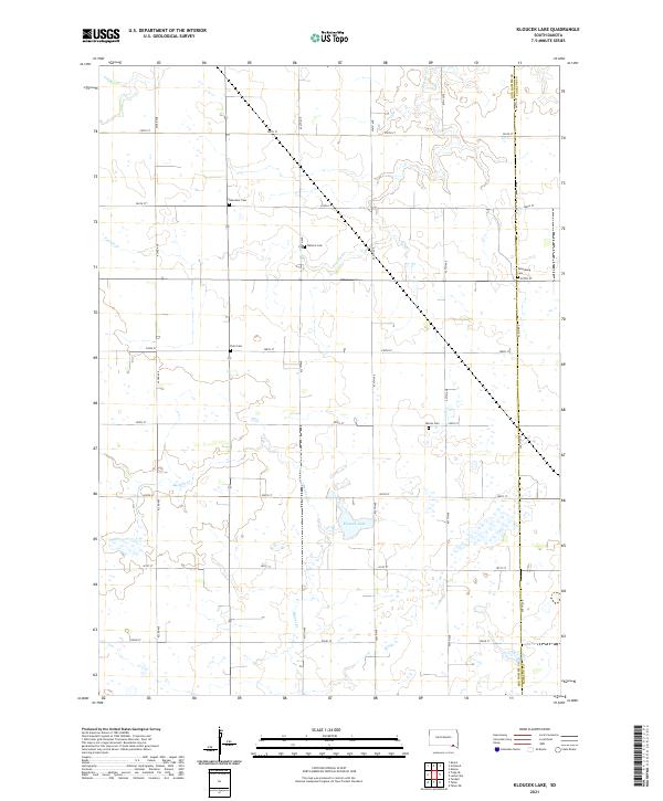
1978 Kloucek Lake
Bon Homme County, SD
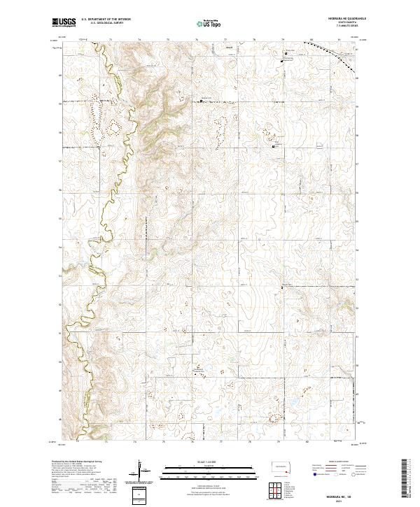
1978 Niobrara NE
Bon Homme County, SD
1978 Tripp SE
Bon Homme County, SD
2012 Haucks Lake
Bon Homme County, SD

2012 Kingsburg
Bon Homme County, SD
2012 Kloucek Lake
Bon Homme County, SD
2012 Niobrara NE
Bon Homme County, SD
2012 Tripp SE
Bon Homme County, SD
2015 Haucks Lake
Bon Homme County, SD
2015 Kingsburg
Bon Homme County, SD
2015 Kloucek Lake
Bon Homme County, SD
2015 Niobrara NE
Bon Homme County, SD
2015 Tripp SE
Bon Homme County, SD
2017 Haucks Lake
Bon Homme County, SD
2017 Kingsburg
Bon Homme County, SD
2017 Kloucek Lake
Bon Homme County, SD
2017 Niobrara NE
Bon Homme County, SD
2017 Tripp SE
Bon Homme County, SD
2021 Haucks Lake
Bon Homme County, SD
2021 Kingsburg
Bon Homme County, SD
2021 Kloucek Lake
Bon Homme County, SD
2021 Niobrara NE
Bon Homme County, SD
2021 Tripp SE
Bon Homme County, SD
Featured Locations
- Washington Township, SD
- Emanuel Township, SD
- Franklin Township, SD
- Jackson Township, SD
- Scotland Township, SD