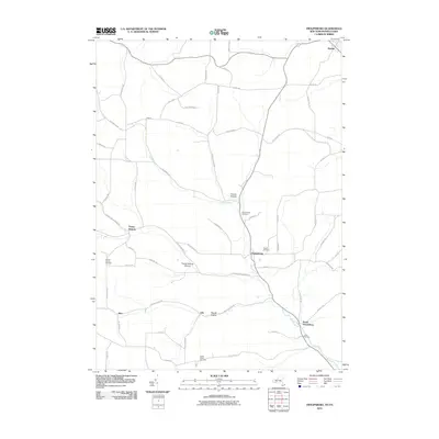
2010 Map of Troupsburg
USGS Topo · Published 2010About this map
Troupsburg and the surrounding valleys of southern Steuben County are defined by a network of rural hamlets and hollows near the Pennsylvania border. The landscape is carved by Troups Creek, which flows past the village center and south toward South Troupsburg. Several high-elevation settlements, including Highup and Young Hickory, illustrate the region’s agricultural layout, where roads like Young Hickory Rd and Rexville Troupsburg Rd follow the natural contours of the land.
Find a feature on this map
58 named features on this map. Tap any name to fly to it.
Don’t see what you’re looking for? This feature index may not catch every label — zoom into the map to look around manually.
Map Details
Editions of this 2010 Troupsburg Map
This is the sole edition of this map. No revisions or reprints were ever made.
Other maps of this area

1899 · Gaines
USGS Topo · 1:62,500

1900 · Gaines
USGS Topo · 1:62,500

1900 · Elkland
USGS Topo · 1:62,500

1924 · Woodhull
USGS Topo · 1:48,000

1926 · Woodhull
USGS Topo · 1:62,500

1926 · Greenwood
USGS Topo · 1:62,500

1944 · Woodhull
USGS Topo · 1:62,500

1950 · Elmira
USGS Topo · 1:250,000

1953 · Cameron
USGS Topo · 1:24,000

1953 · Woodhull
USGS Topo · 1:24,000