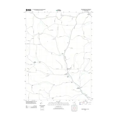
2013 Map of Troupsburg
USGS Topo · Published 2013About this map
Troups Creek carves a deep valley through the southern Steuben County hills, anchoring the primary settlements of Troupsburg and South Troupsburg as they appeared in 2013. This agricultural landscape is defined by its small, scattered hamlets and a dense network of family-named cemeteries and farm roads. Genealogists will find a high concentration of burial grounds including Highup Cemetery, Young Hickory Cemetery, and the Murdock Private Cemetery. The mapping reflects a rural community where historical place names like Alice, Lila, and Young Hickory persist alongside modern infrastructure such as the Troupsburg Town Wastewater Treatment Facility. Drainage patterns are visible in named geographic features like Coover Hollow and Squab Hollow, which follow the winding tributaries that feed into the main creek valley.
Find a feature on this map
82 named features on this map. Tap any name to fly to it.
Don’t see what you’re looking for? This feature index may not catch every label — zoom into the map to look around manually.
Map Details
Editions of this 2013 Troupsburg Map
This is the sole edition of this map. No revisions or reprints were ever made.
Other maps of this area

1899 · Gaines
USGS Topo · 1:62,500

1900 · Gaines
USGS Topo · 1:62,500

1900 · Elkland
USGS Topo · 1:62,500

1924 · Woodhull
USGS Topo · 1:48,000

1926 · Woodhull
USGS Topo · 1:62,500

1926 · Greenwood
USGS Topo · 1:62,500

1944 · Woodhull
USGS Topo · 1:62,500

1950 · Elmira
USGS Topo · 1:250,000

1953 · Cameron
USGS Topo · 1:24,000

1953 · Woodhull
USGS Topo · 1:24,000