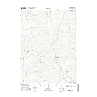
2016 Map of Troupsburg
USGS Topo · Published 2016About this map
Troupsburg and its surrounding hollows define this rural Steuben County landscape, where the drainage of Troups Creek carves a network of valleys through the Southern Tier. This recent survey shows a persistent pattern of highland farming and valley-floor settlements, with small communities like Young Hickory and Lila connected by a web of named country roads such as Potter RD and Highup RD. The map is particularly rich for genealogical research, documenting numerous burial sites that reflect the area's pioneer heritage, including the Murdock Private Cem and Highup Cem. The terrain is marked by distinctive topographical features such as Young Hickory Hollow and Squab Hollow, illustrating the deeply dissected plateau character of this border region near the Pennsylvania line.
Find a feature on this map
75 named features on this map. Tap any name to fly to it.
Don’t see what you’re looking for? This feature index may not catch every label — zoom into the map to look around manually.
Map Details
Editions of this 2016 Troupsburg Map
This is the sole edition of this map. No revisions or reprints were ever made.
Other maps of this area

1899 · Gaines
USGS Topo · 1:62,500

1900 · Gaines
USGS Topo · 1:62,500

1900 · Elkland
USGS Topo · 1:62,500

1924 · Woodhull
USGS Topo · 1:48,000

1926 · Woodhull
USGS Topo · 1:62,500

1926 · Greenwood
USGS Topo · 1:62,500

1944 · Woodhull
USGS Topo · 1:62,500

1950 · Elmira
USGS Topo · 1:250,000

1953 · Cameron
USGS Topo · 1:24,000

1953 · Woodhull
USGS Topo · 1:24,000