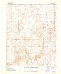
1979 Map of Trout Creek
USGS Topo · Published 1980About this map
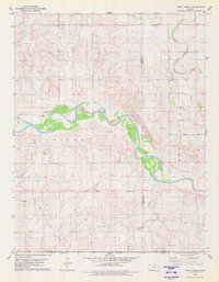
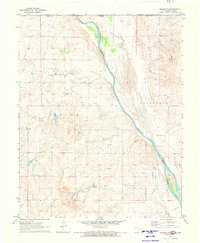
The Cimarron River carves a wide, braided path through the southern Kansas landscape, defining the character of this 1970s survey. This specific reach of the river is flanked by the Sitka and Protection terrain regions, where the land transitions from high plains into a complex network of drainage creeks. Industrial activity is prominent across the sheet, marked by an extensive Oil and Gas Field and numerous individual installations such as a Gas Well and Drill Hole.
Find a feature on this map
15 named features on this map. Tap any name to fly to it.
Don’t see what you’re looking for? This feature index may not catch every label — zoom into the map to look around manually.
Map Details
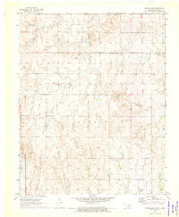
Editions of this 1979 Trout Creek Map
This is the sole edition of this map. No revisions or reprints were ever made.
Other maps of this area

1892 · Coldwater
USGS Topo · 1:125,000
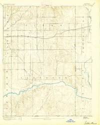
1894 · Sitka
USGS Topo · 1:62,500
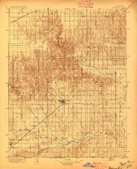
1896 · Ashland
USGS Topo · 1:125,000

1955 · Woodward
USGS Topo · 1:250,000

1955 · Pratt
USGS Topo · 1:250,000

1958 · Woodward
USGS Topo · 1:250,000

1959 · Pratt
USGS Topo · 1:250,000
1970 · Selman NW
USGS Topo · 1:24,000
1970 · Buffalo NW
USGS Topo · 1:24,000
1970 · Buffalo NE
USGS Topo · 1:24,000