1934 Map of Troutdale
USGS Topo · Published 1934About this map
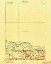
Washougal and the riverfront communities of the Pacific Northwest are captured here during a transitional era of regional development, mapped in part through a State Emergency Relief project. The landscape is defined by the sharp contrast between the industrializing riverfront and the steep, wooded heights of the western Cascades. Along the Columbia River, prominent features like Lady Island and Reed Island sit opposite Government Island, while the Spokane Portland and Seattle Highway provides a critical transport link near the Camas Water Works.
Find a feature on this map
57 named features on this map. Tap any name to fly to it.
Don’t see what you’re looking for? This feature index may not catch every label — zoom into the map to look around manually.
Map Details
Editions of this 1934 Troutdale Map
This is the sole edition of this map. No revisions or reprints were ever made.