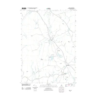
2012 Map of Troy
USGS Topo · Published 2012About this map
The S Br Ashuelot River carves a path through the heart of Cheshire County, anchoring the settlements of Troy and Webb. This landscape is defined by its industrial and topographical variety, where the Bellows Falls Canal and water bodies like Bowker Pond reflect a history of managed water resources. The terrain is prominently marked by high points such as Gap Mountain and Little Monadnock Mountain, which overlook a network of established roads and smaller communities.
Find a feature on this map
108 named features on this map. Tap any name to fly to it.
Don’t see what you’re looking for? This feature index may not catch every label — zoom into the map to look around manually.
Map Details
Editions of this 2012 Troy Map
This is the sole edition of this map. No revisions or reprints were ever made.
Other maps of this area

1887 · Warwick
USGS Topo · 1:62,500

1887 · Winchendon
USGS Topo · 1:62,500

1889 · Warwick
USGS Topo · 1:62,500

1890 · Winchendon
USGS Topo · 1:62,500

1894 · Winchendon
USGS Topo · 1:62,500

1894 · Warwick
USGS Topo · 1:62,500

1898 · Monadnock
USGS Topo · 1:62,500

1898 · Keene
USGS Topo · 1:62,500

1932 · Warwick
USGS Topo · 1:48,000

1932 · Winchendon
USGS Topo · 1:48,000