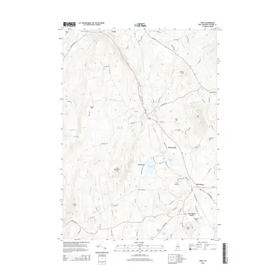
2015 Map of Troy
USGS Topo · Published 2015About this map
Troy serves as the central hub of this Cheshire County landscape, situated where the S Br Ashuelot River and Shaker Brook descend from the surrounding highlands. The map illustrates a region defined by its prominent peaks and water management, featuring several significant hills like Gap Mtn and Little Monadnock Mtn. To the south, Fitzwilliam and Fitzwilliam Depot anchor the lower portion of the sheet, connected by a network of rural roads such as RT-12 and Jaffrey Rd.
Find a feature on this map
102 named features on this map. Tap any name to fly to it.
Don’t see what you’re looking for? This feature index may not catch every label — zoom into the map to look around manually.
Map Details
Editions of this 2015 Troy Map
This is the sole edition of this map. No revisions or reprints were ever made.
Other maps of this area

1887 · Warwick
USGS Topo · 1:62,500

1887 · Winchendon
USGS Topo · 1:62,500

1889 · Warwick
USGS Topo · 1:62,500

1890 · Winchendon
USGS Topo · 1:62,500

1894 · Winchendon
USGS Topo · 1:62,500

1894 · Warwick
USGS Topo · 1:62,500

1898 · Monadnock
USGS Topo · 1:62,500

1898 · Keene
USGS Topo · 1:62,500

1932 · Warwick
USGS Topo · 1:48,000

1932 · Winchendon
USGS Topo · 1:48,000