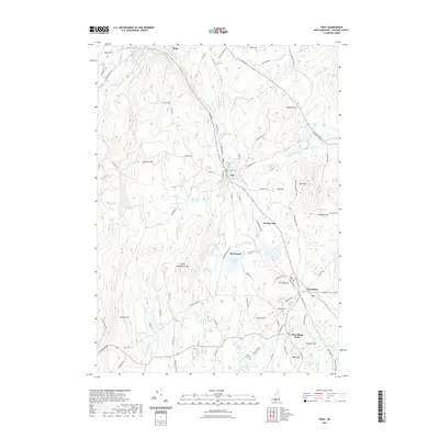
2021 Map of Troy
USGS Topo · Published 2021About this map
The S Br Ashuelot River carves a central path through this upland New Hampshire landscape, where the town of Troy sits at a significant bend in the valley. The terrain is defined by prominent peaks like Gap Mtn and Little Monadnock Mtn, framing a network of smaller settlements including Bowkerville, Rockwood, and the distinct areas of Fitzwilliam and Fitzwilliam Depot.
Find a feature on this map
102 named features on this map. Tap any name to fly to it.
Don’t see what you’re looking for? This feature index may not catch every label — zoom into the map to look around manually.
Map Details
Editions of this 2021 Troy Map
This is the sole edition of this map. No revisions or reprints were ever made.
Other maps of this area

1887 · Warwick
USGS Topo · 1:62,500

1887 · Winchendon
USGS Topo · 1:62,500

1889 · Warwick
USGS Topo · 1:62,500

1890 · Winchendon
USGS Topo · 1:62,500

1894 · Winchendon
USGS Topo · 1:62,500

1894 · Warwick
USGS Topo · 1:62,500

1898 · Monadnock
USGS Topo · 1:62,500

1898 · Keene
USGS Topo · 1:62,500

1932 · Warwick
USGS Topo · 1:48,000

1932 · Winchendon
USGS Topo · 1:48,000