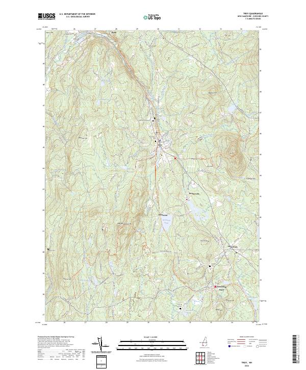
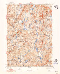
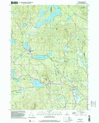
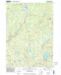
2024 Map of Troy
USGS Topo · Published 2024About this map
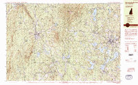
Troy serves as the central hub for this portion of Cheshire County, where the historic path of the Cheshire Rec Rail-Trl cuts through the landscape. The area’s genealogical record is preserved in several burial grounds, including the Troy Village Cem and Mount Carmel Cem near the town center, and the more distant Pine Grove Cem to the south. The topography is defined by significant elevations such as Little Monadnock Mtn and Gap Mtn, which frame a series of water bodies including Rockwood Pond and the West Hill Reservoir. This landscape is crisscrossed by established routes like the Metacomet-Monadnock Trl, reflecting a long-standing balance between small-town settlement and the natural forest and water systems of the South Branch Ashuelot River valley.
Find a feature on this map
107 named features on this map. Tap any name to fly to it.
Don’t see what you’re looking for? This feature index may not catch every label — zoom into the map to look around manually.
Map Details
Editions of this 2024 Troy Map
This is the sole edition of this map. No revisions or reprints were ever made.
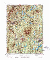
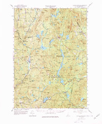
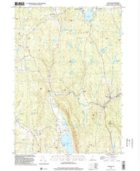
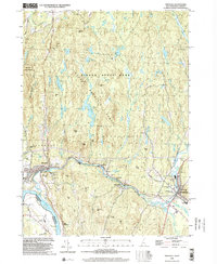
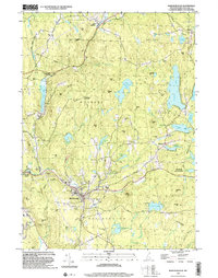
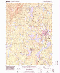
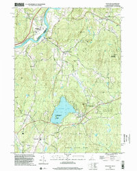
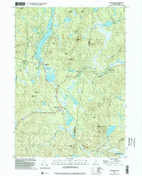
Historical Maps of Rockwood Through Time
31 maps found
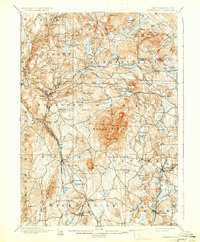
1898 Monadnock
Cheshire County, NH
1930 Lovewell Mountain
Cheshire County, NH
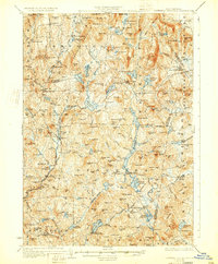
1936 Monadnock
Cheshire County, NH
1942 Lovewell Mountain
Cheshire County, NH
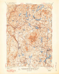
1949 Monadnock
Cheshire County, NH
1957 Lovewell Mountain
Cheshire County, NH
1984 Marlborough
Cheshire County, NH
1984 Monadnock Mountain
Cheshire County, NH
1984 Stoddard
Cheshire County, NH
1984 Winchester
Cheshire County, NH
1985 Walpole
Cheshire County, NH
1998 Dublin
Cheshire County, NH
1998 Gilsum
Cheshire County, NH
1998 Hinsdale
Cheshire County, NH
1998 Marlborough
Cheshire County, NH
1998 Marlow
Cheshire County, NH
1998 Monadnock Mountain
Cheshire County, NH
1998 Spofford
Cheshire County, NH
1998 Stoddard
Cheshire County, NH
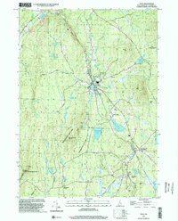
1998 Troy
Cheshire County, NH
1998 Walpole
Cheshire County, NH
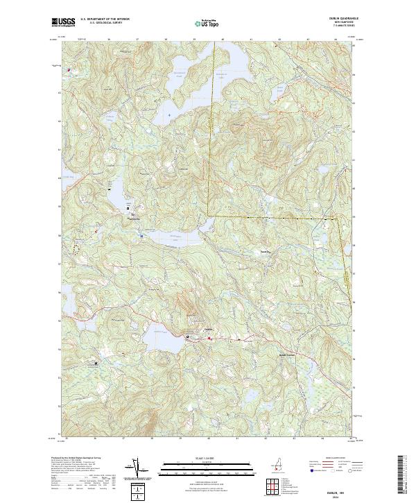
2024 Dublin
Cheshire County, NH
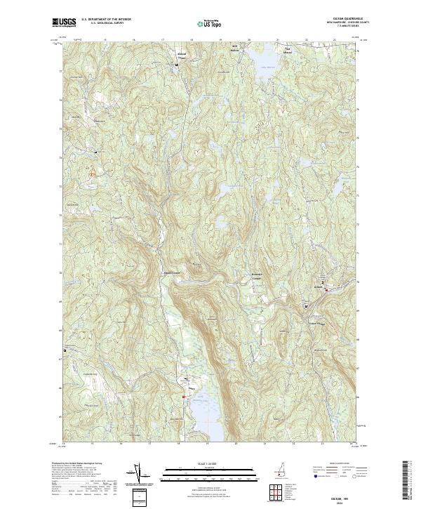
2024 Gilsum
Cheshire County, NH
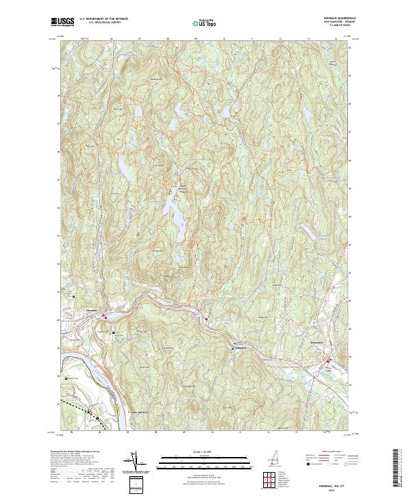
2024 Hinsdale
Cheshire County, NH
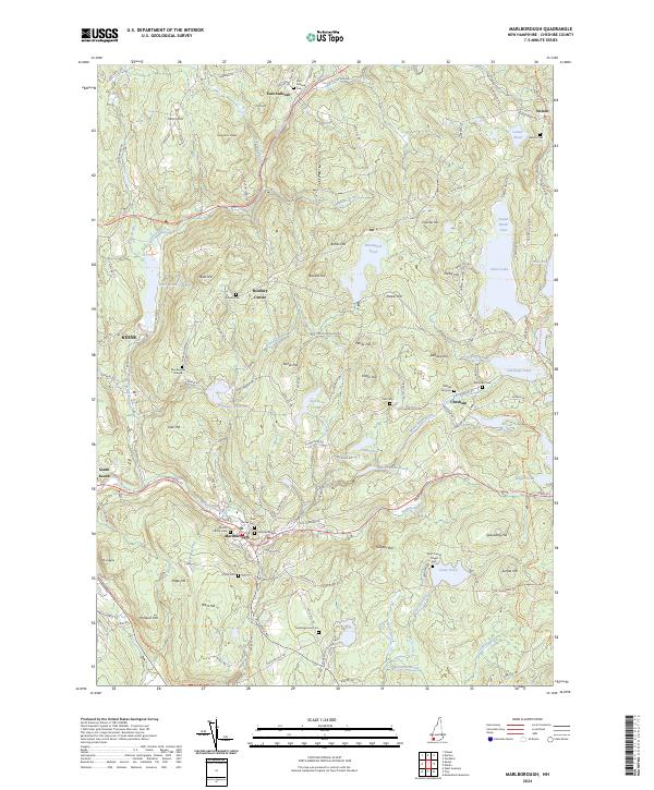
2024 Marlborough
Cheshire County, NH
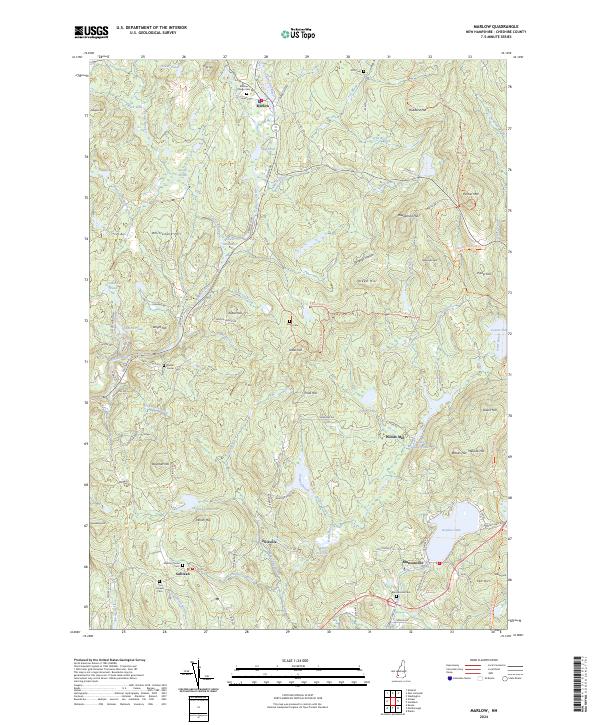
2024 Marlow
Cheshire County, NH
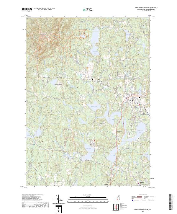
2024 Monadnock Mountain
Cheshire County, NH
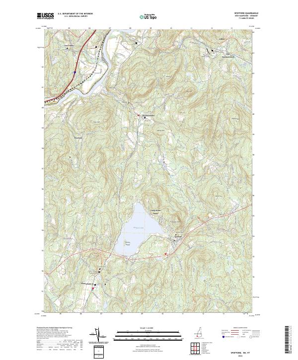
2024 Spofford
Cheshire County, NH
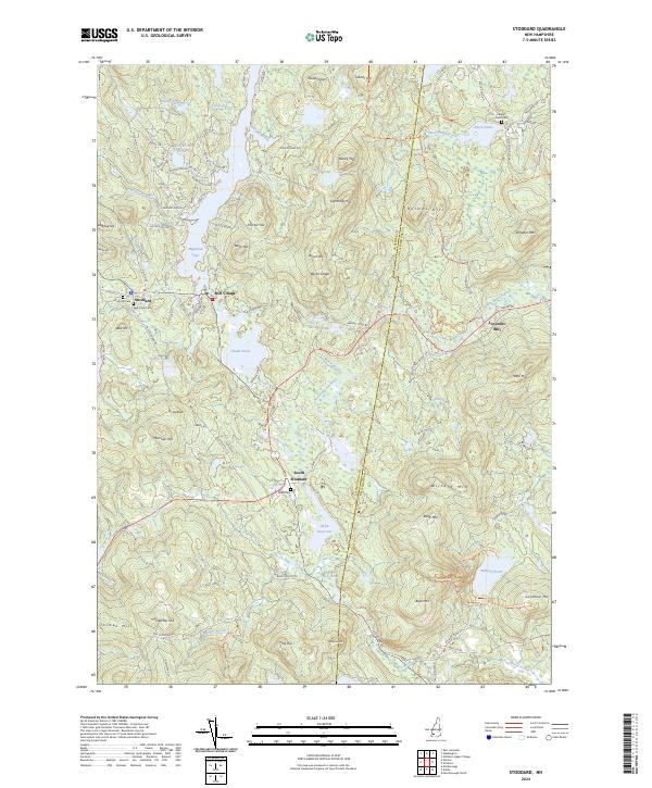
2024 Stoddard
Cheshire County, NH
2024 Troy
Cheshire County, NH
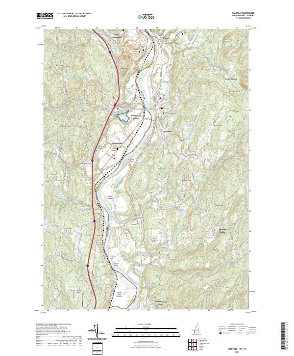
2024 Walpole
Cheshire County, NH