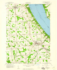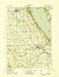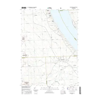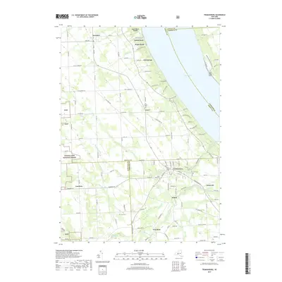
1970 Map of Trumansburg
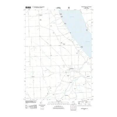
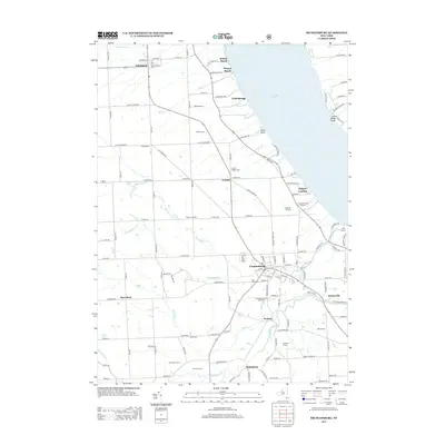
USGS Topo · Published 1986About this map
Trumansburg serves as a primary hub within this 1970 landscape, sitting just inland from the western shore of Cayuga Lake. The map illustrates a transition in regional transportation, showing the active Lehigh Valley railroad line alongside an Old Railroad Grade north of the village. This era of land management is clearly defined by the Hector Land Use Area and the renowned Taughannock Falls State Park, while the local economy is reflected in features like the Nun-Dak-Et Airfield and numerous gravel pits. Rural life is anchored by named crossroads such as Halls Corners, Six Corners, and Dawson Corners, providing a detailed view of the Finger Lakes region before modern suburban expansion. Genealogists will find value in the precise locations of the Grove Cemetery and St James Cem, as well as small family landmarks like Jones Cem scattered across the township of Ulysses.
Find a feature on this map
57 named features on this map. Tap any name to fly to it.
Don’t see what you’re looking for? This feature index may not catch every label — zoom into the map to look around manually.
Map Details
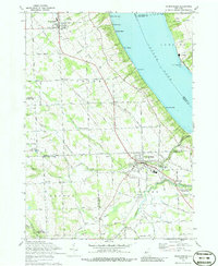
Editions of this 1970 Trumansburg Map
2 editions found

Historical Maps of Lansing Through Time
8 maps found