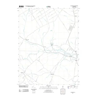
2011 Map of Tuckahoe
USGS Topo · Published 2011About this map
The Tuckahoe River winds through the heart of this landscape, anchoring several small communities and historic mill sites in Cape May and Atlantic counties. The map documents the persistent river-centered layout of the region, where settlements like Hunters Mill, Warners Mill, and Marshallville line the banks. Significant water features such as Warners Mill Pond and Five Acre Pond illustrate the historical reliance on local hydraulic power.
Find a feature on this map
81 named features on this map. Tap any name to fly to it.
Don’t see what you’re looking for? This feature index may not catch every label — zoom into the map to look around manually.
Map Details
Editions of this 2011 Tuckahoe Map
This is the sole edition of this map. No revisions or reprints were ever made.
Other maps of this area

1884 · Sea Isle
USGS Topo · 1:62,500

1888 · Dennisville
USGS Topo · 1:62,500

1888 · Sea Isle
USGS Topo · 1:62,500

1890 · Great Egg Harbor
USGS Topo · 1:62,500

1890 · Tuckahoe
USGS Topo · 1:62,500

1893 · Great Egg Harbor
USGS Topo · 1:62,500

1893 · Tuckahoe
USGS Topo · 1:62,500

1894 · Dennisville
USGS Topo · 1:62,500

1894 · Sea Isle
USGS Topo · 1:62,500

1918 · Great Egg Harbor
USGS Topo · 1:62,500