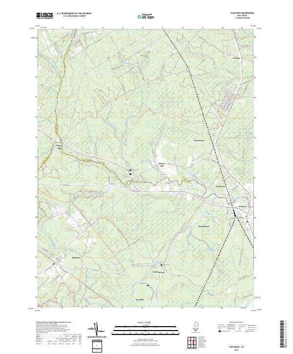
2023 Map of Tuckahoe
USGS Topo · Published 2023About this map
The Tuckahoe River carves a winding path through the low-lying coastal plains of New Jersey, serving as a natural boundary for Atlantic and Cape May counties. This landscape is defined by its riparian economy and historical milling sites, including Hunters Mill and Warners Mill. The map documents a cluster of traditional settlements such as Steelmantown, Marshallville, and Corbin City, each linked by a network of rural roads like Hunters Mill Rd and Tuckahoe Rd.
Find a feature on this map
110 named features on this map. Tap any name to fly to it.
Don’t see what you’re looking for? This feature index may not catch every label — zoom into the map to look around manually.
Map Details
Editions of this 2023 Tuckahoe Map
This is the sole edition of this map. No revisions or reprints were ever made.
Other maps of this area

1884 · Sea Isle
USGS Topo · 1:62,500

1888 · Dennisville
USGS Topo · 1:62,500

1888 · Sea Isle
USGS Topo · 1:62,500

1890 · Great Egg Harbor
USGS Topo · 1:62,500

1890 · Tuckahoe
USGS Topo · 1:62,500

1893 · Great Egg Harbor
USGS Topo · 1:62,500

1893 · Tuckahoe
USGS Topo · 1:62,500

1894 · Dennisville
USGS Topo · 1:62,500

1894 · Sea Isle
USGS Topo · 1:62,500

1918 · Great Egg Harbor
USGS Topo · 1:62,500