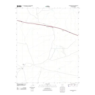
2011 Map of Tucker Mesa SW
USGS Topo · Published 2011About this map
Meteor City and the neighboring settlement of Dennison anchor this portion of the northern Arizona high desert, situated along a critical transportation corridor. The landscape is defined by its infrastructure and water management, featuring a series of catchments such as Beacon Tank, Bull Tank, and Brown Tanks that support ranching operations like Meteor Crater Ranch. This 2011 survey captures the area as Interstate 40 bypasses the older routes, though local access remains via Red Gap Ranch Rd and Meteor Crater Rd. The presence of the Chilson Landing Strip and the Dennison Interchange highlights the area's role as a transition point for travelers moving between the region's prominent geological landmarks and larger transit hubs.
Find a feature on this map
13 named features on this map. Tap any name to fly to it.
Don’t see what you’re looking for? This feature index may not catch every label — zoom into the map to look around manually.
Map Details
Editions of this 2011 Tucker Mesa SW Map
This is the sole edition of this map. No revisions or reprints were ever made.
Other maps of this area

1883 · Tusayan
USGS Topo · 1:250,000

1886 · Tusayan
USGS Topo · 1:250,000

1886 · San Francisco Mtns
USGS Topo · 1:250,000

1886 · Holbrook
USGS Topo · 1:250,000

1887 · Verde
USGS Topo · 1:250,000

1891 · San Francisco Mtns
USGS Topo · 1:250,000

1892 · Verde
USGS Topo · 1:250,000

1893 · Holbrook
USGS Topo · 1:250,000

1894 · San Francisco Mtns
USGS Topo · 1:250,000

1899 · San Francisco Mtns
USGS Topo · 1:250,000