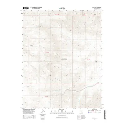
2015 Map of Tucki Wash
USGS Topo · Published 2015About this map
Death Valley National Park encompasses this arid landscape within the Panamint Range of the Mojave Desert. The topography is dominated by the massive presence of Tucki Mtn in the northeast, which sheds water through the complex drainage network of Tucki Wash. The map documents a rugged interior accessible by a few primitive routes, specifically Tucki Mine Rd and Skidoo Rd, which trace the high elevations and historical mining approaches of the region.
Find a feature on this map
19 named features on this map. Tap any name to fly to it.
Don’t see what you’re looking for? This feature index may not catch every label — zoom into the map to look around manually.
Map Details
Editions of this 2015 Tucki Wash Map
This is the sole edition of this map. No revisions or reprints were ever made.
Other maps of this area

1908 · Furnace Creek
USGS Topo · 1:250,000

1908 · Ballarat
USGS Topo · 1:250,000

1910 · Furnace Creek
USGS Topo · 1:250,000

1913 · Ballarat
USGS Topo · 1:250,000

1942 · Bullfrog
USGS Topo · 1:125,000

1948 · Death Valley
USGS Topo · 1:250,000

1952 · Chloride Cliff
USGS Topo · 1:50,000

1952 · Stovepipe Wells
USGS Topo · 1:62,500

1952 · Furnace Creek
USGS Topo · 1:62,500

1952 · Emigrant Canyon
USGS Topo · 1:62,500