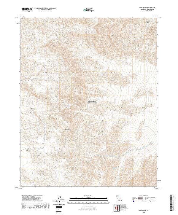
2021 Map of Tucki Wash
USGS Topo · Published 2021About this map
Tucki Mtn dominates this high-altitude landscape within the Death Valley National Park, where the extreme topography of the northern Panamint Range meets the edge of the Mojave Desert. This 2021 survey documents a territory defined by complex drainage systems and severe elevation changes, centering on the arid floor of Death Valley. Critical water sources in this environment are rare and specifically noted, such as Blackwater Spring, which feeds into the seasonal drainage of the Blackwater Wash. The map also traces the Dry Fork Blackwater Wash, illustrating how the desert floor is carved by ephemeral water flow during infrequent rain events. This modern topographical record provides essential data for understanding the hydrological and geological structure of one of the most demanding environments in North America.
Find a feature on this map
14 named features on this map. Tap any name to fly to it.
Don’t see what you’re looking for? This feature index may not catch every label — zoom into the map to look around manually.
Map Details
Editions of this 2021 Tucki Wash Map
This is the sole edition of this map. No revisions or reprints were ever made.
Other maps of this area

1908 · Furnace Creek
USGS Topo · 1:250,000

1908 · Ballarat
USGS Topo · 1:250,000

1910 · Furnace Creek
USGS Topo · 1:250,000

1913 · Ballarat
USGS Topo · 1:250,000

1942 · Bullfrog
USGS Topo · 1:125,000

1948 · Death Valley
USGS Topo · 1:250,000

1952 · Chloride Cliff
USGS Topo · 1:50,000

1952 · Stovepipe Wells
USGS Topo · 1:62,500

1952 · Furnace Creek
USGS Topo · 1:62,500

1952 · Emigrant Canyon
USGS Topo · 1:62,500