
1932 Map of Tunk Lake
USGS Topo · Published 1932About this map
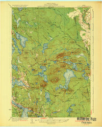
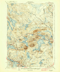
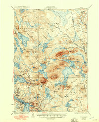
Sullivan Harbor and the surrounding coastal granite hills define this 1932 topographic survey of Downeast Maine. The landscape is a complex network of glacial ponds and prominent peaks, notably the soaring Tunk Mountain and the Fire Tower atop Schoodic Mtn. The Maine Central railroad tracks skirt the southern edge of the sheet, connecting the coastal villages of West Sullivan and East Sullivan while providing vital transport for the region's timber and granite resources.
Find a feature on this map
127 named features on this map. Tap any name to fly to it.
Don’t see what you’re looking for? This feature index may not catch every label — zoom into the map to look around manually.
Map Details
Editions of this 1932 Tunk Lake Map
4 editions found
Other maps of this area

1902 · Cherryfield
USGS Topo · 1:62,500

1904 · Cherryfield
USGS Topo · 1:62,500

1904 · Mount Desert
USGS Topo · 1:62,500

1904 · Bar Harbor
USGS Topo · 1:62,500

1904 · Petit Manan
USGS Topo · 1:62,500

1911 · Ellsworth
USGS Topo · 1:62,500

1929 · Great Pond
USGS Topo · 1:48,000

1929 · Lead Mountain
USGS Topo · 1:48,000

1930 · Tunk Lake
USGS Topo · 1:48,000

1932 · Lead Mountain
USGS Topo · 1:62,500