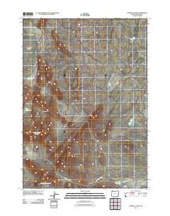
2011 Map of Turnbull Peak
USGS Topo · Published 2011About this map
Turnbull Peak rises above a high desert landscape marked by industrial excavation and water management in Malheur County. This 2011 survey details a region defined by extensive mining pits such as Mud Puddle Pit, West Pit, and West Turnbull Pit, which are scattered throughout the valleys. The seasonal nature of the local hydrology is evident in features like the Duck Creek Lakebed and several engineered catchments, including South Turnbull Reservoir and Ryegrass Reservoir. To the south, the terrain climbs toward the Sheepshead Mountains, while the Ryegrass Ranch serves as a lone hub of activity along Iron Mountain Rd. The map illustrates how ranching and resource extraction have shaped this corner of Opal Valley and Barren Valley.
Find a feature on this map
15 named features on this map. Tap any name to fly to it.
Don’t see what you’re looking for? This feature index may not catch every label — zoom into the map to look around manually.
Map Details
Editions of this 2011 Turnbull Peak Map
This is the sole edition of this map. No revisions or reprints were ever made.
Other maps of this area

1955 · Jordan Valley
USGS Topo · 1:250,000

1955 · Burns
USGS Topo · 1:250,000

1955 · Adel
USGS Topo · 1:250,000

1955 · Boise
USGS Topo · 1:250,000

1957 · Adel
USGS Topo · 1:250,000

1957 · Jordan Valley
USGS Topo · 1:250,000

1958 · Burns
USGS Topo · 1:250,000

1958 · Boise
USGS Topo · 1:250,000

1958 · Adel
USGS Topo · 1:250,000

1958 · Jordan Valley
USGS Topo · 1:250,000