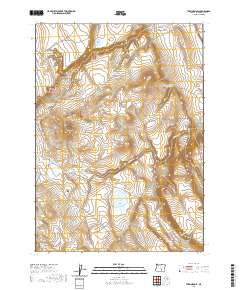
2020 Map of Turpin Knoll
USGS Topo · Published 2020About this map
Turpin Knoll stands as a central topographic landmark in this high desert region of Harney County, where the landscape is defined by its careful management of water. The distribution of small catchments like Clay Reservoir, Shale Reservoir, and Quarter Corner Reservoir reveals a land utilized for seasonal grazing, where every draw and canyon is critical for resource management. The terrain shifts from the prominent Rehart Rim in the west toward the broad expanse of Dry Valley to the east, illustrating the complex drainage patterns of the Great Basin.
Find a feature on this map
19 named features on this map. Tap any name to fly to it.
Don’t see what you’re looking for? This feature index may not catch every label — zoom into the map to look around manually.
Map Details
Editions of this 2020 Turpin Knoll Map
This is the sole edition of this map. No revisions or reprints were ever made.
Other maps of this area

1955 · Burns
USGS Topo · 1:250,000

1955 · Adel
USGS Topo · 1:250,000

1957 · Adel
USGS Topo · 1:250,000

1958 · Burns
USGS Topo · 1:250,000

1958 · Adel
USGS Topo · 1:250,000

1959 · Burns
USGS Topo · 1:250,000

1962 · Adel
USGS Topo · 1:250,000
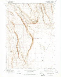
1971 · Corporation Rim
USGS Topo · 1:24,000
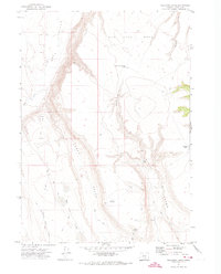
1971 · Red Bank Lakes
USGS Topo · 1:24,000
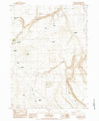
1984 · Turpin Knoll
USGS Topo · 1:24,000