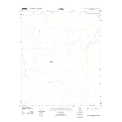
2012 Map of Twentynine Palms Mountain
USGS Topo · Published 2012About this map
Twentynine Palms Mountain rises as a central landmark in this high desert landscape, which transitions from the northern flats near the Twentynine Palms Airport into the higher elevations of the Pinto Mountains. The drainage patterns are defined by episodic desert flows, most notably the Dog Wash, which snakes through the arid terrain. The map details the southern reach of Gold Park, accessed by the arterial Gold Park Rd, and highlights the isolated Music Valley further east. Transportation in this era is represented by a network of utilitarian desert routes, including Baseline Rd and Mojave Rd, which provide access to the foothills and mining-history-rich areas that border the region.
Find a feature on this map
11 named features on this map. Tap any name to fly to it.
Don’t see what you’re looking for? This feature index may not catch every label — zoom into the map to look around manually.
Map Details
Editions of this 2012 Twentynine Palms Mountain Map
This is the sole edition of this map. No revisions or reprints were ever made.
Other maps of this area
1942 · Amboy
USGS Topo · 1:250,000
1943 · Amboy
USGS Topo · 1:250,000
1943 · Pinkham Well
USGS Topo · 1:62,500
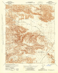
1944 · Pinkham Well
USGS Topo · 1:62,500
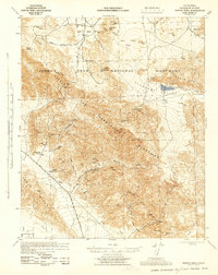
1944 · Pinyon Well
USGS Topo · 1:62,500
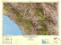
1947 · Santa Ana
USGS Topo · 1:250,000
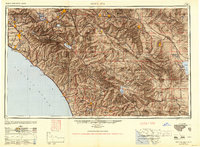
1949 · Santa Ana
USGS Topo · 1:250,000
1953 · San Bernardino
USGS Topo · 1:250,000
1954 · Salton Sea
USGS Topo · 1:250,000
1954 · Needles
USGS Topo · 1:250,000