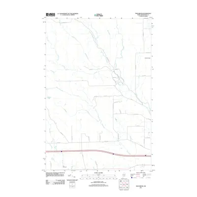
2011 Map of Twin Brook
USGS Topo · Published 2011About this map
Littleton Ridge rises over a landscape defined by an intricate network of waterways in this Aroostook County survey. The terrain is characterized by the convergence of numerous brooks, including Webster Brook, Mansur Brook, and the namesake Twin Brook, which drain into the prominent B Stream. The settlement pattern here follows a rectilinear grid of rural roads, many bearing family names like Hemore Rd, McGlinn Rd, and Morrison Rd, reflecting the agricultural and residential history of the Houlton area.
Find a feature on this map
42 named features on this map. Tap any name to fly to it.
Don’t see what you’re looking for? This feature index may not catch every label — zoom into the map to look around manually.
Map Details
Editions of this 2011 Twin Brook Map
This is the sole edition of this map. No revisions or reprints were ever made.
Other maps of this area

1934 · Bridgewater
USGS Topo · 1:48,000

1935 · Howe Brook
USGS Topo · 1:48,000

1937 · Smyrna Mills
USGS Topo · 1:62,500

1938 · Bridgewater
USGS Topo · 1:62,500

1938 · Houlton
USGS Topo · 1:62,500

1939 · Howe Brook
USGS Topo · 1:62,500

1951 · Houlton
USGS Topo · 1:62,500

1951 · Bridgewater
USGS Topo · 1:62,500

1953 · Bridgewater
USGS Topo · 1:50,000

1954 · Howe Brook
USGS Topo · 1:62,500