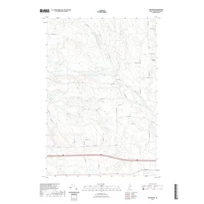
2021 Map of Twin Brook
USGS Topo · Published 2021About this map
Captain Ambrose Bear Stream and its numerous tributaries dominate this part of Aroostook County, carving through a landscape defined by glacial bogs and persistent watercourses. The local road network, including Ludlow Rd and Back Ridge Rd, connects the scattered farmsteads and rural properties that characterize this northern Maine territory. For those researching family history in the area, the Ludlow Cem sits centrally along the roadway that bears its name, serving as a primary point of reference for the surrounding community.
Find a feature on this map
49 named features on this map. Tap any name to fly to it.
Don’t see what you’re looking for? This feature index may not catch every label — zoom into the map to look around manually.
Map Details
Editions of this 2021 Twin Brook Map
This is the sole edition of this map. No revisions or reprints were ever made.
Other maps of this area

1934 · Bridgewater
USGS Topo · 1:48,000

1935 · Howe Brook
USGS Topo · 1:48,000

1937 · Smyrna Mills
USGS Topo · 1:62,500

1938 · Bridgewater
USGS Topo · 1:62,500

1938 · Houlton
USGS Topo · 1:62,500

1939 · Howe Brook
USGS Topo · 1:62,500

1951 · Houlton
USGS Topo · 1:62,500

1951 · Bridgewater
USGS Topo · 1:62,500

1953 · Bridgewater
USGS Topo · 1:50,000

1954 · Howe Brook
USGS Topo · 1:62,500