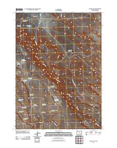
2011 Map of Twin Buttes
USGS Topo · Published 2011About this map
Jackass Creek meanders through this arid landscape, defining the hydrologic network of this portion of Harney County. The area is characterized by an extensive system of water management features, including Long Canyon Reservoir, Second Lake Reservoir, and Larrys Reservoir, which support life and agriculture in the high desert. Notable topographic landmarks such as the Twin Buttes and the open expanse of Weed Lake Flat provide orientation in this sparsely populated region. The map also documents numerous named waterholes, such as Mammoth Waterhole and Tooney Waterhole, which are critical points of interest for local history and ranching operations. Significant local thoroughfares like Catlow Rd and Foster Flat-Harney Lake Rd connect these remote water sources and landforms.
Find a feature on this map
24 named features on this map. Tap any name to fly to it.
Don’t see what you’re looking for? This feature index may not catch every label — zoom into the map to look around manually.
Map Details
Editions of this 2011 Twin Buttes Map
This is the sole edition of this map. No revisions or reprints were ever made.
Other maps of this area

1955 · Burns
USGS Topo · 1:250,000

1955 · Adel
USGS Topo · 1:250,000

1957 · Adel
USGS Topo · 1:250,000

1958 · Burns
USGS Topo · 1:250,000

1958 · Adel
USGS Topo · 1:250,000

1959 · Burns
USGS Topo · 1:250,000

1962 · Adel
USGS Topo · 1:250,000
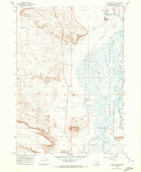
1967 · Coyote Buttes
USGS Topo · 1:24,000
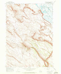
1967 · Jackass Butte
USGS Topo · 1:24,000
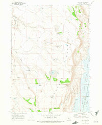
1967 · Irish Lake
USGS Topo · 1:24,000