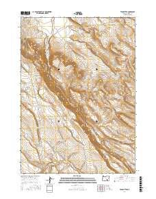
2017 Map of Twin Buttes
USGS Topo · Published 2017About this map
Twin Buttes and the Black Rim dominate this high-desert topography in Oregon's Harney County, characterized by an extensive network of ephemeral water catchments and drainage systems. The landscape is defined by the vital presence of water sources in a dry environment, including numerous named pits and tanks such as Griffen Waterhole, Mammoth Waterhole, and the Rocky Hole Reservoir. These features, alongside drainage from Jackass Creek, illustrate the complex water management required for land use in the Catlow Valley region.
Find a feature on this map
36 named features on this map. Tap any name to fly to it.
Don’t see what you’re looking for? This feature index may not catch every label — zoom into the map to look around manually.
Map Details
Editions of this 2017 Twin Buttes Map
This is the sole edition of this map. No revisions or reprints were ever made.
Other maps of this area

1955 · Burns
USGS Topo · 1:250,000

1955 · Adel
USGS Topo · 1:250,000

1957 · Adel
USGS Topo · 1:250,000

1958 · Burns
USGS Topo · 1:250,000

1958 · Adel
USGS Topo · 1:250,000

1959 · Burns
USGS Topo · 1:250,000

1962 · Adel
USGS Topo · 1:250,000
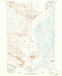
1967 · Coyote Buttes
USGS Topo · 1:24,000
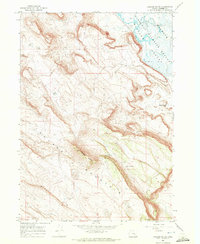
1967 · Jackass Butte
USGS Topo · 1:24,000
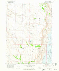
1967 · Irish Lake
USGS Topo · 1:24,000