Loading...
Loading map...2023 Map of Twin Lakes
USGS Topo · Published 2023About this map
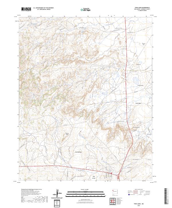
Twin Lakes and Rock Springs anchor this high-desert landscape in McKinley County, where the terrain is defined by a series of prominent mesas and deep drainage washes. The settlement pattern reflects a modern rural New Mexico network, centered around the junction near Yah-ta-hey. The topography is marked by distinctively named landmarks such as Umbrella Butte, Gossip Hill, and the elevated Banana Ridge.
Find a feature on this map
54 named features on this map. Tap any name to fly to it.
Don’t see what you’re looking for? This feature index may not catch every label — zoom into the map to look around manually.
Map Details
Date Portrayed2023
Date Published2023
PublisherU.S. Geological Survey
Map TypeTopographic
Scale1:24000
Physical Dimensions24 x 29 inches
Editions of this 2023 Twin Lakes Map
This is the sole edition of this map. No revisions or reprints were ever made.
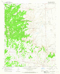
Historical Maps of Yah-ta-hey Through Time
Featured Locations
- Fort Defiance Agency
- Eastern Navajo Agency, NM
- Twin Lakes, Fort Defiance Agency
- Yah-ta-hey, NM
- Tohlakai, Eastern Navajo Agency
Source Details
SourceU.S. Geological Survey
CopyrightPublic Domain