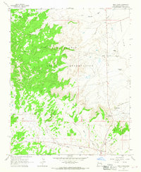
1963 Map of Twin Lakes
USGS Topo · Published 1967About this map
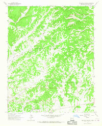
The Navajo Indian Reservation dominates this high-desert landscape of McKinley County, where the topography transitions from the dramatic relief of Banana Ridge and Twin Peaks to the broad expanse of the Tohatchi Flats. The settlement of Twin Lakes serves as a local hub near Gossip Hill, while the southern end of the map features the community of Yah-ta-hey. This 1963 field-checked survey captures a transition in Western transit, showing a traditional Wagon Trail and the Jack Johnson Road alongside modern infrastructure like a high-pressure Pipeline. Cultural landmarks such as the Tohlakai Trading Post reflect the enduring importance of local commerce in this arid environment, which is deeply etched by ephemeral drainages including Death Wash, Burned Death Wash, and Tohatchi Wash.
Find a feature on this map
27 named features on this map. Tap any name to fly to it.
Don’t see what you’re looking for? This feature index may not catch every label — zoom into the map to look around manually.
Map Details
Editions of this 1963 Twin Lakes Map
This is the sole edition of this map. No revisions or reprints were ever made.
Other maps of this area

1886 · Wingate
USGS Topo · 1:250,000

1892 · Wingate
USGS Topo · 1:250,000

1954 · Gallup
USGS Topo · 1:250,000
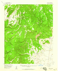
1955 · Tohatchi
USGS Topo · 1:62,500

1958 · Gallup
USGS Topo · 1:250,000

1959 · Gallup
USGS Topo · 1:250,000

1962 · Gallup
USGS Topo · 1:250,000
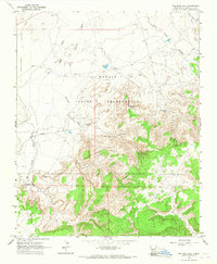
1963 · Big Rock Hill
USGS Topo · 1:24,000
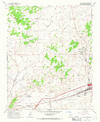
1963 · Gallup West
USGS Topo · 1:24,000
1963 · Tse Bonita School
USGS Topo · 1:24,000
Featured Places
- Fort Defiance Agency
- Eastern Navajo Agency, NM
- Yah-ta-hey, NM
- Tohlakai, Eastern Navajo Agency
- Twin Lakes, Fort Defiance Agency