
1963 Map of Gallup West
USGS Topo · Published 1967About this map
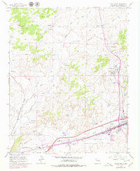
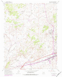
Industrial activity and transport networks define this portion of McKinley County in the early 1960s. Gallup serves as the primary hub, where the Atchison Topeka and Santa Fe railroad corridor runs parallel to the Puerco River. To the north and west, the landscape is marked by the region's coal mining heritage, with sites such as the Defiance Mine, Carbon City Mine, and several mine dumps scattered through the Coal Basin.
Find a feature on this map
39 named features on this map. Tap any name to fly to it.
Don’t see what you’re looking for? This feature index may not catch every label — zoom into the map to look around manually.
Map Details
Editions of this 1963 Gallup West Map
Other maps of this area

1886 · Wingate
USGS Topo · 1:250,000

1892 · Wingate
USGS Topo · 1:250,000

1954 · Gallup
USGS Topo · 1:250,000

1958 · Gallup
USGS Topo · 1:250,000

1959 · Gallup
USGS Topo · 1:250,000

1962 · Gallup
USGS Topo · 1:250,000

1963 · Twin Lakes
USGS Topo · 1:24,000

1963 · Big Rock Hill
USGS Topo · 1:24,000

1963 · Twin Buttes
USGS Topo · 1:24,000

1963 · Manuelito
USGS Topo · 1:24,000