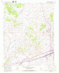
1963 Map of Gallup West
USGS Topo · Published 1979About this map
Industrial activity and ranching define the landscape west of Gallup in the early 1960s. The northern reaches of the map show the Rock Spring Ranch and Rock Spring Navajo Mission set against the high terrain of Black Ridge. To the south, the coal mining legacy of the region is evident through the Defiance Mine and the Carbon City Mine near Mentmore, where extensive mine dumps and tailings piles mark the earth.
Find a feature on this map
38 named features on this map. Tap any name to fly to it.
Don’t see what you’re looking for? This feature index may not catch every label — zoom into the map to look around manually.
Map Details
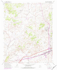
Editions of this 1963 Gallup West Map
Other maps of this area

1886 · Wingate
USGS Topo · 1:250,000

1892 · Wingate
USGS Topo · 1:250,000

1954 · Gallup
USGS Topo · 1:250,000

1958 · Gallup
USGS Topo · 1:250,000

1959 · Gallup
USGS Topo · 1:250,000

1962 · Gallup
USGS Topo · 1:250,000

1963 · Twin Lakes
USGS Topo · 1:24,000

1963 · Big Rock Hill
USGS Topo · 1:24,000

1963 · Twin Buttes
USGS Topo · 1:24,000

1963 · Gallup West
USGS Topo · 1:24,000