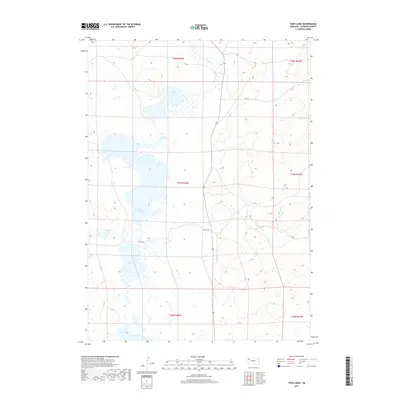
2017 Map of Twin Lakes
USGS Topo · Published 2017About this map
Twin Lakes and several other alkali basins define this portion of Sheridan County, where the high plains landscape is dominated by a complex network of seasonal and permanent water bodies. The presence of Diamond Lake, Cravath Lake, and Albrecht Lake suggests the importance of water management and cattle ranching in this sparsely populated region of northwestern Nebraska. Drainage patterns are sparse, marked primarily by the meandering path of Pines Cr in the northern sections.
Find a feature on this map
14 named features on this map. Tap any name to fly to it.
Don’t see what you’re looking for? This feature index may not catch every label — zoom into the map to look around manually.
Map Details
Editions of this 2017 Twin Lakes Map
This is the sole edition of this map. No revisions or reprints were ever made.
Other maps of this area
1948 · Antioch
USGS Topo · 1:62,500
1948 · Lakeside
USGS Topo · 1:62,500
1948 · Twin Lakes
USGS Topo · 1:62,500
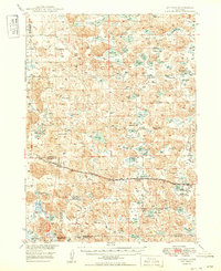
1949 · Antioch
USGS Topo · 1:62,500
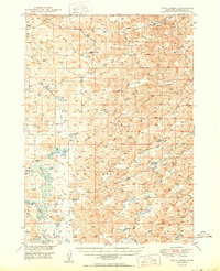
1950 · Twin Lakes
USGS Topo · 1:62,500
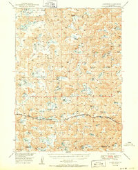
1950 · Lakeside
USGS Topo · 1:62,500
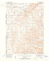
1950 · Skunk Lake
USGS Topo · 1:62,500
1955 · Alliance
USGS Topo · 1:250,000
1957 · Alliance
USGS Topo · 1:250,000
1958 · Alliance
USGS Topo · 1:250,000