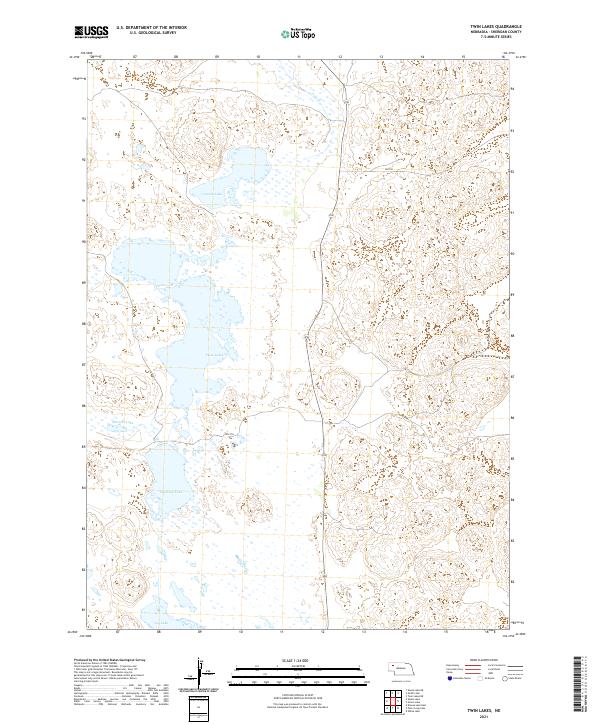
2021 Map of Twin Lakes
USGS Topo · Published 2021About this map
Sheridan County's high plains landscape is defined by a series of significant basins and depressions in this portion of Nebraska. The area is dominated by the namesake Twin Lakes at its center, surrounded by a network of other vital water bodies including Cravath Lake to the north and Diamond Lake and Albrecht Lake to the south. These features are characteristic of the Sandhills region, where the high water table creates these persistent lakes amid the dunes. Navigation across this terrain is marked by remote paths like 358 Trl and 298th Trl, which provide access through the township and range sections. The map reveals the intricate natural drainage and hydrologic patterns of the area, terminating in Joy Lake at the southern boundary.
Find a feature on this map
13 named features on this map. Tap any name to fly to it.
Don’t see what you’re looking for? This feature index may not catch every label — zoom into the map to look around manually.
Map Details
Editions of this 2021 Twin Lakes Map
This is the sole edition of this map. No revisions or reprints were ever made.
Other maps of this area

1948 · Antioch
USGS Topo · 1:62,500

1948 · Lakeside
USGS Topo · 1:62,500

1948 · Twin Lakes
USGS Topo · 1:62,500

1949 · Antioch
USGS Topo · 1:62,500

1950 · Twin Lakes
USGS Topo · 1:62,500

1950 · Lakeside
USGS Topo · 1:62,500

1950 · Skunk Lake
USGS Topo · 1:62,500

1955 · Alliance
USGS Topo · 1:250,000

1957 · Alliance
USGS Topo · 1:250,000

1958 · Alliance
USGS Topo · 1:250,000