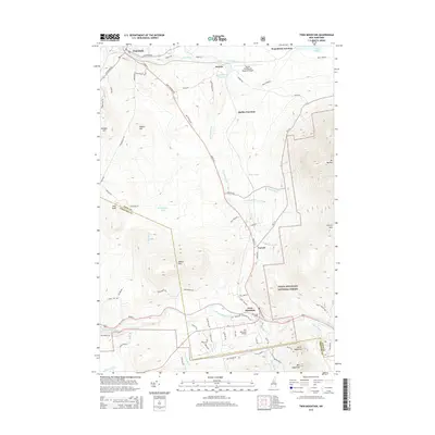
2015 Map of Twin Mountain
USGS Topo · Published 2015About this map
Whitefield and the neighboring settlements of Twin Mountain and Carroll anchor this survey of the northern New Hampshire landscape. The map details the complex transportation infrastructure of the era, from the legacy rail lines of the B & M RR meeting at Quebec Junction and Waumbeck Junction to the modern aviation presence at the Mount Washington Regional Airport. The terrain transition is marked by the presence of the White Mountain National Forest boundary, which encompasses prominent peaks like Mt Martha and Cherry Mtn in the east.
Find a feature on this map
78 named features on this map. Tap any name to fly to it.
Don’t see what you’re looking for? This feature index may not catch every label — zoom into the map to look around manually.
Map Details
Editions of this 2015 Twin Mountain Map
This is the sole edition of this map. No revisions or reprints were ever made.
Other maps of this area

1893 · Mt. Washington
USGS Topo · 1:62,500

1895 · Crawford Notch
USGS Topo · 1:62,500

1896 · Mt. Washington
USGS Topo · 1:62,500

1896 · Crawford Notch
USGS Topo · 1:62,500

1900 · Whitefield
USGS Topo · 1:62,500

1929 · Franconia
USGS Topo · 1:62,500

1932 · Franconia
USGS Topo · 1:62,500

1935 · Whitefield
USGS Topo · 1:48,000

1935 · Mt. Washington
USGS Topo · 1:62,500
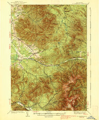
1938 · Mt. Washington
USGS Topo · 1:62,500