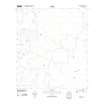
2010 Map of Twin Peaks
USGS Topo · Published 2010About this map
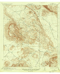
Twin Peaks rise above a landscape defined by expansive desert draws and isolated mountain ranges in this Brewster County corridor. The terrain is characterized by broad drainage systems like Nine Point Draw, Chalk Draw, and the West Corazones Draw, which carve through the high desert floor. Human presence is sparse, centered on established pastoral outposts such as Henderson Ranch and Buttrill Ranch, connected by long stretches of gravel and dirt roads including Marathon Rd and Sombrero Peak Ranch Rd.
Find a feature on this map
18 named features on this map. Tap any name to fly to it.
Don’t see what you’re looking for? This feature index may not catch every label — zoom into the map to look around manually.
Map Details
Editions of this 2010 Twin Peaks Map
This is the sole edition of this map. No revisions or reprints were ever made.
Other maps of this area
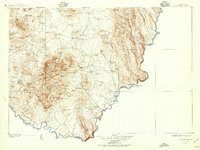
1903 · Chisos Mountains
USGS Topo · 1:125,000
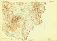
1905 · Chisos Mountains
USGS Topo · 1:125,000
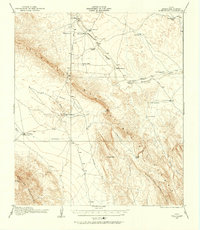
1917 · Bone Spring
USGS Topo · 1:62,500
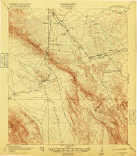
1918 · Bone Spring
USGS Topo · 1:125,000
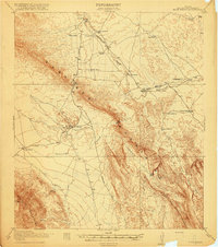
1918 · Bone Spring
USGS Topo · 1:62,500
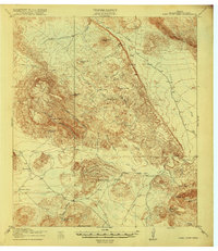
1918 · Nine Point Mesa
USGS Topo · 1:62,500
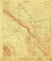
1920 · Bone Spring
USGS Topo · 1:62,500
1937 · Nine Point Mesa
USGS Topo · 1:62,500
1959 · Emory Peak
USGS Topo · 1:250,000
1965 · Emory Peak
USGS Topo · 1:250,000