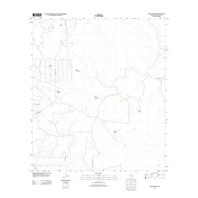
2012 Map of Twin Peaks
USGS Topo · Published 2012About this map
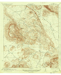
The high desert terrain of Brewster County is defined here by the distinctive summits of Twin Peaks and the Chalk Mountains, rising above a complex network of ephemeral drainage systems. These arid draws, including West Corazones Draw and East Corazones Draw, dictate the movement across the landscape, which is supported by vital water sources like Buttrill Springs, Goat Spring, and Alamo Spring. Local ranching life is anchored by established outposts such as Henderson Ranch and Buttrill Ranch, which sit along a sparse road network. The presence of Stove Canyon and Trough Canyon further illustrates the deeply weathered geology of the region. This survey captures a specific moment in the rural West where long-standing family ranching operations navigate a landscape shaped by narrow canyons and intermittent springs, accessible only by a few primary routes like Marathon Rd and Cedar Springs Rd.
Find a feature on this map
18 named features on this map. Tap any name to fly to it.
Don’t see what you’re looking for? This feature index may not catch every label — zoom into the map to look around manually.
Map Details
Editions of this 2012 Twin Peaks Map
This is the sole edition of this map. No revisions or reprints were ever made.
Other maps of this area
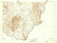
1903 · Chisos Mountains
USGS Topo · 1:125,000
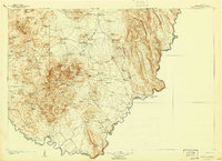
1905 · Chisos Mountains
USGS Topo · 1:125,000
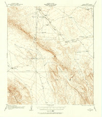
1917 · Bone Spring
USGS Topo · 1:62,500
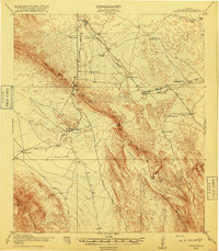
1918 · Bone Spring
USGS Topo · 1:125,000
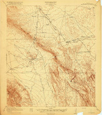
1918 · Bone Spring
USGS Topo · 1:62,500
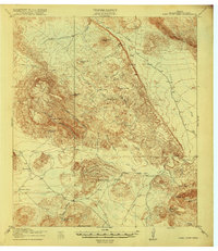
1918 · Nine Point Mesa
USGS Topo · 1:62,500
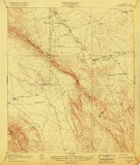
1920 · Bone Spring
USGS Topo · 1:62,500
1937 · Nine Point Mesa
USGS Topo · 1:62,500
1959 · Emory Peak
USGS Topo · 1:250,000
1965 · Emory Peak
USGS Topo · 1:250,000