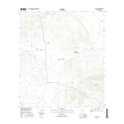
2016 Map of Twin Peaks
USGS Topo · Published 2016About this map
Big Bend National Park defines the eastern portion of this high desert terrain in Brewster County. The landscape is characterized by prominent elevations and deep drainage systems, dominated by the Rosillos Mountains and the distinctive Twin Peaks. Historical movement through this arid environment is centered on reliable water sources like Buttrill Spring, Goat Spring, and Alamo Spring, which provided essential stops in an area marked by dramatic relief such as Rag Canyon and the Chalk Mountains. Regional access is anchored by Marathon Rd and Terlingua Ranch Rd, while more specialized routes like Iwo Jima Pass and Doce Doe Path navigate the local canyons and draws. This document offers a precise look at the landforms and ephemeral hydrology within the park's reach.
Find a feature on this map
24 named features on this map. Tap any name to fly to it.
Don’t see what you’re looking for? This feature index may not catch every label — zoom into the map to look around manually.
Map Details
Editions of this 2016 Twin Peaks Map
This is the sole edition of this map. No revisions or reprints were ever made.
Other maps of this area
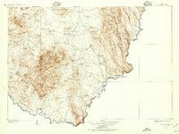
1903 · Chisos Mountains
USGS Topo · 1:125,000
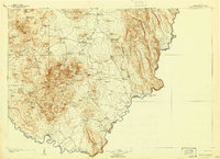
1905 · Chisos Mountains
USGS Topo · 1:125,000
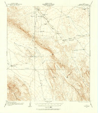
1917 · Bone Spring
USGS Topo · 1:62,500
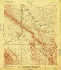
1918 · Bone Spring
USGS Topo · 1:125,000
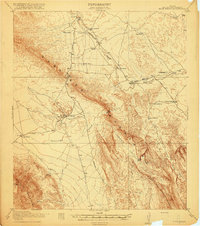
1918 · Bone Spring
USGS Topo · 1:62,500
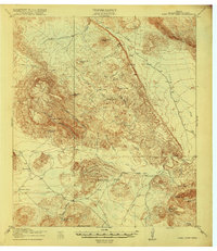
1918 · Nine Point Mesa
USGS Topo · 1:62,500
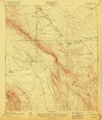
1920 · Bone Spring
USGS Topo · 1:62,500
1937 · Nine Point Mesa
USGS Topo · 1:62,500
1959 · Emory Peak
USGS Topo · 1:250,000
1965 · Emory Peak
USGS Topo · 1:250,000