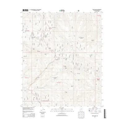
2013 Map of Twin Sisters
USGS Topo · Published 2013About this map
Redstone sits at the heart of this high-elevation landscape within the Gila National Forest, where the topography is defined by the Continental Divide winding through the Pinos Altos Range. The area is characterized by a series of prominent summits and deep drainages, including Signal Peak, Scott Peak, and the namesake Twin Sisters peaks. This survey captures a terrain dominated by significant vertical relief, from the heights of Tadpole Ridge down into Bear Canyon and Cherry Creek Canyon. Water sources like McMillan Spring and Sawmill Tank illustrate the importance of localized water points in this arid upland environment. The road network is centered on State Hwy 15, which provides access through the rugged canyons and ridges, connecting the settlement at Redstone with the surrounding forest and remote peaks.
Find a feature on this map
41 named features on this map. Tap any name to fly to it.
Don’t see what you’re looking for? This feature index may not catch every label — zoom into the map to look around manually.
Map Details
Editions of this 2013 Twin Sisters Map
This is the sole edition of this map. No revisions or reprints were ever made.
Other maps of this area
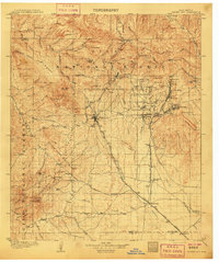
1909 · Silver City
USGS Topo · 1:125,000
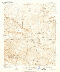
1911 · Alum Mountain
USGS Topo · 1:125,000
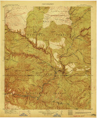
1913 · Alum Mountain
USGS Topo · 1:125,000
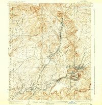
1937 · Santa Rita
USGS Topo · 1:24,000
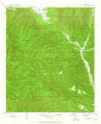
1947 · Allie Canyon
USGS Topo · 1:24,000
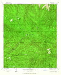
1947 · Twin Sisters
USGS Topo · 1:24,000
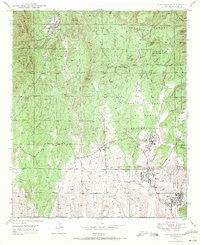
1947 · Fort Bayard
USGS Topo · 1:24,000
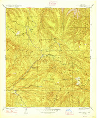
1948 · Twin Sisters
USGS Topo · 1:24,000
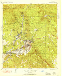
1948 · Santa Rita
USGS Topo · 1:24,000
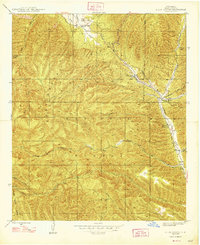
1948 · Allie Canyon
USGS Topo · 1:24,000