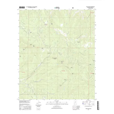
2017 Map of Twin Sisters
USGS Topo · Published 2017About this map
Gila National Forest encompasses the high-elevation terrain of the Pinos Altos Range in this modern topographic study of Grant County. The settlement of Redstone serves as a small human footprint in a landscape defined by significant peaks and ridges, including Signal Peak, Scott Peak, and Black Peak. The physical geography is marked by the Continental Divide, which winds through the center of the sheet, followed closely by the Continental Divide National Scenic Trail. This alignment shows how modern recreational infrastructure adheres to the natural spine of the American West. Water sources like McMillan Spring and Allie Spring provide critical points of interest in a region drained by Bear Cr and Cherry Cr. Numerous canyons, such as Bear Canyon and Skates Canyon, cut through the high country, illustrating the complex drainage patterns of the Gila wilderness.
Find a feature on this map
46 named features on this map. Tap any name to fly to it.
Don’t see what you’re looking for? This feature index may not catch every label — zoom into the map to look around manually.
Map Details
Editions of this 2017 Twin Sisters Map
This is the sole edition of this map. No revisions or reprints were ever made.
Other maps of this area
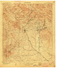
1909 · Silver City
USGS Topo · 1:125,000
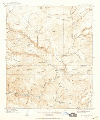
1911 · Alum Mountain
USGS Topo · 1:125,000
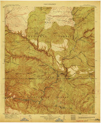
1913 · Alum Mountain
USGS Topo · 1:125,000
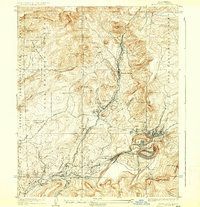
1937 · Santa Rita
USGS Topo · 1:24,000
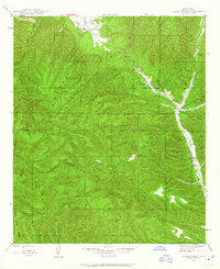
1947 · Allie Canyon
USGS Topo · 1:24,000
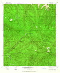
1947 · Twin Sisters
USGS Topo · 1:24,000
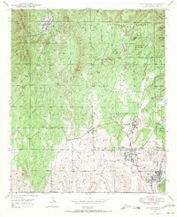
1947 · Fort Bayard
USGS Topo · 1:24,000
1948 · Twin Sisters
USGS Topo · 1:24,000
1948 · Santa Rita
USGS Topo · 1:24,000
1948 · Allie Canyon
USGS Topo · 1:24,000