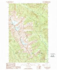
1989 Map of Twin Sisters Mtn.
USGS Topo · Published 1989About this map
Twin Sisters Mountain dominates this high-altitude landscape in the late 1980s, where its sharp peaks of North Twin and South Twin rise above the surrounding Mt Baker Sister Mountain Wilderness. This 1989 provisional survey captures a remote wilderness environment before modern digital mapping, showcasing the drainage systems of the Middle Fork Nooksack River and the South Fork Nooksack River. Alpine water bodies like Elbow Lake, Lake Doreen, and Lake Wiseman are tucked into the high basins, while the Whatcom Co Skagit Co line cuts through the southern portion of the sheet. The map reveals the intricate network of glacial meltwater streams, including Ridley Creek and Sister Creek, which define the rugged topography of the Mount Baker National Forest.
Find a feature on this map
28 named features on this map. Tap any name to fly to it.
Don’t see what you’re looking for? This feature index may not catch every label — zoom into the map to look around manually.
Map Details
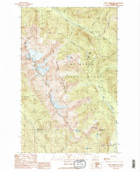
Editions of this 1989 Twin Sisters Mtn. Map
2 editions found
Other maps of this area

1909 · Mt Baker
USGS Topo · 1:192,000

1915 · Mt. Baker
USGS Topo · 1:250,000

1919 · Van Zandt
USGS Topo · 1:62,500

1921 · Wickersham
USGS Topo · 1:62,500

1951 · Wickersham
USGS Topo · 1:62,500

1951 · Van Zandt
USGS Topo · 1:62,500

1952 · Mt. Baker
USGS Topo · 1:62,500

1952 · Hamilton
USGS Topo · 1:62,500

1955 · Concrete
USGS Topo · 1:250,000

1957 · Victoria
USGS Topo · 1:250,000