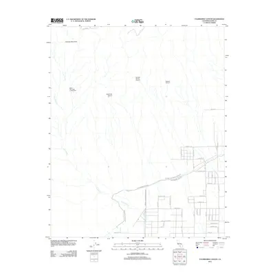
2012 Map of Tylerhorse Canyon
USGS Topo · Published 2012About this map
The Tehachapi Mountains dominate this high-desert landscape in Kern County, defined by the deep incisions of Tylerhorse Canyon, Gamble Spring Canyon, and Burham Canyon. This 2012 survey illustrates the critical infrastructure supporting Southern California, with the Los Angeles Aqueduct and its associated Aqueduct Rd cutting across the arid terrain. To the west, the White Oak Lodge Landing Field serves as a notable remote aviation landmark near Cottonwood Cr. The southeastern portion of the map reveals a burgeoning residential grid with distinctively named thoroughfares such as Avenue of the Stars, Brightstar Ave, and Lodestar Ave. These modern street layouts contrast sharply with the ancient drainage patterns of the mountains, showing how human development has begun to frame the desert floor below the canyon mouths.
Find a feature on this map
38 named features on this map. Tap any name to fly to it.
Don’t see what you’re looking for? This feature index may not catch every label — zoom into the map to look around manually.
Map Details
Editions of this 2012 Tylerhorse Canyon Map
This is the sole edition of this map. No revisions or reprints were ever made.
Other maps of this area

1903 · Tejon
USGS Topo · 1:125,000

1914 · Caliente
USGS Topo · 1:125,000

1915 · Elizabeth Lake
USGS Topo · 1:125,000

1915 · Mojave
USGS Topo · 1:125,000

1917 · Elizabeth Lake
USGS Topo · 1:125,000

1943 · Tehachapi
USGS Topo · 1:62,500

1943 · Cummings Mountain
USGS Topo · 1:62,500

1943 · Neenach
USGS Topo · 1:62,500

1943 · Willow Springs
USGS Topo · 1:62,500

1948 · Bakersfield
USGS Topo · 1:250,000