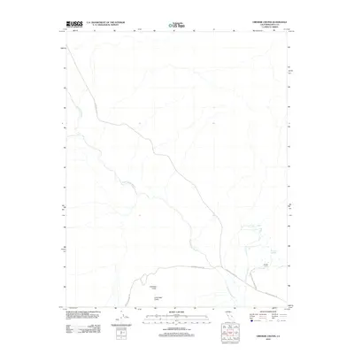
2012 Map of Ubehebe Crater
USGS Topo · Published 2012About this map
Ubehebe Crater and its smaller neighbor, Little Hebe Crater, dominate this landscape within Death Valley National Park. This 2012 survey captures the stark geological features and essential drainage networks of the northern Inyo County desert. The map tracks the winding course of Death Valley Wash as it moves through the arid terrain, joined by Little Grapevine Cr near the eastern edge. Human presence in this environment is marked by historical sites like Scottys Ranch and vital water sources such as Grapevine Springs. Transportation through this corner of the park is defined by the intersection of Death Valley Rd and Racetrack Valley Rd, providing a clear record of the access routes used by modern explorers and researchers to reach these volcanic landmarks.
Find a feature on this map
9 named features on this map. Tap any name to fly to it.
Don’t see what you’re looking for? This feature index may not catch every label — zoom into the map to look around manually.
Map Details
Editions of this 2012 Ubehebe Crater Map
This is the sole edition of this map. No revisions or reprints were ever made.
Other maps of this area

1908 · Lida
USGS Topo · 1:250,000

1908 · Ballarat
USGS Topo · 1:250,000

1913 · Lida
USGS Topo · 1:250,000

1913 · Ballarat
USGS Topo · 1:250,000

1948 · Death Valley
USGS Topo · 1:250,000

1954 · Death Valley
USGS Topo · 1:250,000

1954 · Goldfield
USGS Topo · 1:250,000

1955 · Goldfield
USGS Topo · 1:250,000

1956 · Death Valley
USGS Topo · 1:250,000

1957 · Death Valley
USGS Topo · 1:250,000