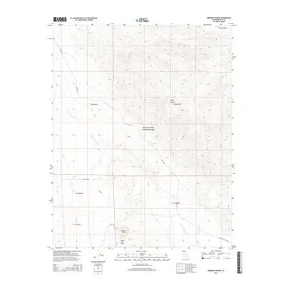
2015 Map of Ubehebe Crater
USGS Topo · Published 2015About this map
Ubehebe Crater and its smaller counterpart, Little Hebe Crater, dominate the southern reach of this arid landscape within Death Valley National Park. The topography is defined by the sharp descent into Death Valley from the surrounding Amargosa Range to the northeast and the vast Mojave Desert terrain. Drainage patterns are clearly marked by the winding path of Death Valley Wash, which collects runoff from high-elevation contours. Rare water sources like Grapevine Springs and Little Grapevine Cr appear as vital points of interest for researchers of desert hydrology and early travel routes. Remote access is traced through two primary thoroughfares: Big Pine Rd cutting across the central hills and Racetrack Valley Rd leading toward the craters.
Find a feature on this map
15 named features on this map. Tap any name to fly to it.
Don’t see what you’re looking for? This feature index may not catch every label — zoom into the map to look around manually.
Map Details
Editions of this 2015 Ubehebe Crater Map
This is the sole edition of this map. No revisions or reprints were ever made.
Other maps of this area

1908 · Lida
USGS Topo · 1:250,000

1908 · Ballarat
USGS Topo · 1:250,000

1913 · Lida
USGS Topo · 1:250,000

1913 · Ballarat
USGS Topo · 1:250,000

1948 · Death Valley
USGS Topo · 1:250,000

1954 · Death Valley
USGS Topo · 1:250,000

1954 · Goldfield
USGS Topo · 1:250,000

1955 · Goldfield
USGS Topo · 1:250,000

1956 · Death Valley
USGS Topo · 1:250,000

1957 · Death Valley
USGS Topo · 1:250,000