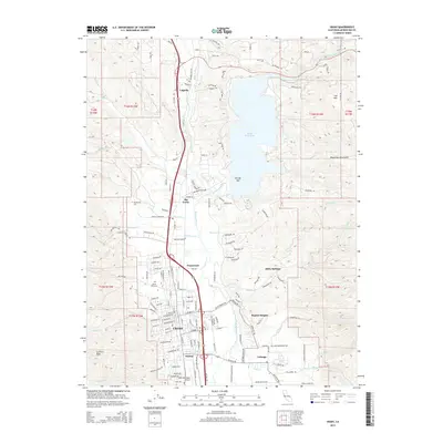
2015 Map of Ukiah
USGS Topo · Published 2015About this map
The Russian River and its East Fork converge at The Forks just south of the large reservoir at Lake Mendocino, defining the central corridor of this Mendocino County map. The city of Ukiah serves as the regional hub, flanked by the residential and institutional clusters of Asylum and Talmage to the south, and Calpella to the north. This 2015 edition documents the modern footprint of the area, including the sprawling campus of Mendocino Coll and the Ukiah Municipal Airport.
Find a feature on this map
145 named features on this map. Tap any name to fly to it.
Don’t see what you’re looking for? This feature index may not catch every label — zoom into the map to look around manually.
Map Details
Editions of this 2015 Ukiah Map
This is the sole edition of this map. No revisions or reprints were ever made.
Other maps of this area

1920 · Ukiah
USGS Topo · 1:62,500

1922 · Willits
USGS Topo · 1:62,500

1942 · Willits
USGS Topo · 1:62,500

1943 · Pomo
USGS Topo · 1:62,500

1943 · Boonville
USGS Topo · 1:62,500

1944 · Ukiah
USGS Topo · 1:62,500

1944 · Willits
USGS Topo · 1:62,500

1957 · Ukiah
USGS Topo · 1:250,000
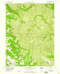
1958 · Purdys Gardens
USGS Topo · 1:24,000

1958 · Ukiah
USGS Topo · 1:24,000