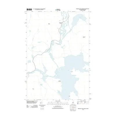
2012 Map of Umbagog Lake North
USGS Topo · Published 2012About this map
Wentworth Location sits at the confluence of a complex waterways system where the Magalloway River meanders toward the northern reaches of Umbagog Lake. This 2012 survey illustrates the hydrological connection between the northern lake basins and the Androscoggin River, which flows out near Sweat Meadows. The landscape is defined by significant elevations like Mount Dustan and Sturtevant Mountain, which overlook a dense network of smaller bodies of water including Sturtevant Pond, Dustan Pond, and Whaleback Pond. The presence of Molls Rock and named points like Pine Point and Tyler Point indicate a shoreline utilized for navigation and landmarking. Local transit is represented by wood-shrouded routes such as Dead Diamond Rd and Chapel Hill Rd, which provide access to the remote pond systems and the river valleys of the New Hampshire-Maine borderlands.
Find a feature on this map
33 named features on this map. Tap any name to fly to it.
Don’t see what you’re looking for? This feature index may not catch every label — zoom into the map to look around manually.
Map Details
Editions of this 2012 Umbagog Lake North Map
This is the sole edition of this map. No revisions or reprints were ever made.
Other maps of this area

1930 · Milan
USGS Topo · 1:62,500

1930 · Errol
USGS Topo · 1:62,500

1933 · Milan
USGS Topo · 1:62,500

1934 · Errol
USGS Topo · 1:62,500

1934 · Milan
USGS Topo · 1:62,500

1940 · Oquossoc
USGS Topo · 1:62,500

1942 · Oquossoc
USGS Topo · 1:62,500

1943 · Old Speck Mtn
USGS Topo · 1:62,500

1945 · Old Speck Mtn
USGS Topo · 1:62,500

1950 · Lewiston
USGS Topo · 1:250,000