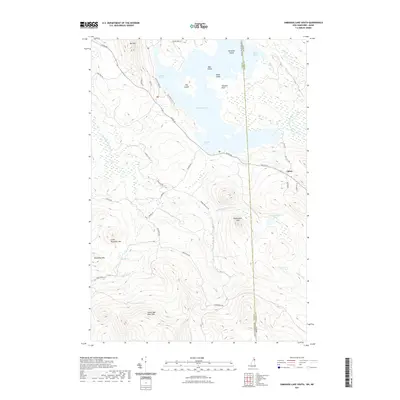
2021 Map of Umbagog Lake South
USGS Topo · Published 2021About this map
Umbagog Lake straddles the state line between New Hampshire and Maine, where the waters of Mollidgewock Brook and the Dead Cambridge River converge. This northern landscape is defined by its series of islands, including Metallak Island, Bear Island, and Big Island, which cluster near Tidswell Point and the quiet waters of Thurston Cove. The small settlement of Upton sits on the eastern shore, positioned near the rising slopes of the Hampshire Hills.
Find a feature on this map
45 named features on this map. Tap any name to fly to it.
Don’t see what you’re looking for? This feature index may not catch every label — zoom into the map to look around manually.
Map Details
Editions of this 2021 Umbagog Lake South Map
This is the sole edition of this map. No revisions or reprints were ever made.
Other maps of this area

1930 · Milan
USGS Topo · 1:62,500

1930 · Errol
USGS Topo · 1:62,500

1933 · Milan
USGS Topo · 1:62,500

1934 · Errol
USGS Topo · 1:62,500

1934 · Milan
USGS Topo · 1:62,500

1940 · Oquossoc
USGS Topo · 1:62,500

1942 · Oquossoc
USGS Topo · 1:62,500

1943 · Old Speck Mtn
USGS Topo · 1:62,500

1945 · Old Speck Mtn
USGS Topo · 1:62,500

1950 · Lewiston
USGS Topo · 1:250,000