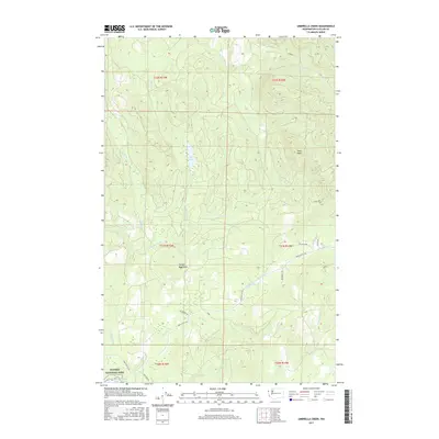
2017 Map of Umbrella Creek
USGS Topo · Published 2017About this map
Olympic National Park boundaries define the southern reach of this coastal Washington landscape, where the northern tip of Ozette Lake meets the protected wilderness. The area is characterized by a dense network of watercourses and logging routes, centered on the drainage basins of the Tsoo-Yess River and Big River. Higher elevations like Snag Peak overlook a system of smaller tributaries including Shafter Cr and Pilchuck Cr, while Elk Lake sits as a prominent interior water body.
Find a feature on this map
33 named features on this map. Tap any name to fly to it.
Don’t see what you’re looking for? This feature index may not catch every label — zoom into the map to look around manually.
Map Details
Editions of this 2017 Umbrella Creek Map
This is the sole edition of this map. No revisions or reprints were ever made.
Other maps of this area

1935 · Clallam
USGS Topo · 1:62,500

1935 · Ozette Lake
USGS Topo · 1:62,500

1935 · Lake Pleasant
USGS Topo · 1:62,500

1938 · Cape Flattery
USGS Topo · 1:62,500

1942 · Clallam
USGS Topo · 1:62,500

1942 · Ozette Lake
USGS Topo · 1:62,500

1942 · Lake Pleasant
USGS Topo · 1:62,500

1953 · Cape Flattery
USGS Topo · 1:250,000

1956 · Ozette Lake
USGS Topo · 1:62,500

1957 · Lake Pleasant
USGS Topo · 1:62,500