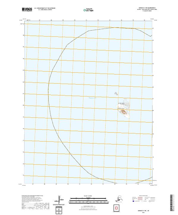
2021 Map of Umnak D-1 NE
USGS Topo · Published 2021About this map
Bogoslof Island and the smaller Fire Island emerge from the Bering Sea in this focused survey of the Fox Islands chain. Part of the larger Aleutian Islands arc, these landmasses represent an isolated and dynamic volcanic environment where land meets the open ocean. The map documents the specific geographic footprints of these islands as they appeared in recent years, providing a precise spatial record within the Township 72 South, Range 127 West survey grid. This isolated maritime landscape is characterized by its distance from the mainland, serving as a critical reference for understanding the remote topography of the Aleutians West region.
Find a feature on this map
6 named features on this map. Tap any name to fly to it.
Don’t see what you’re looking for? This feature index may not catch every label — zoom into the map to look around manually.
Map Details
Editions of this 2021 Umnak D-1 NE Map
This is the sole edition of this map. No revisions or reprints were ever made.


