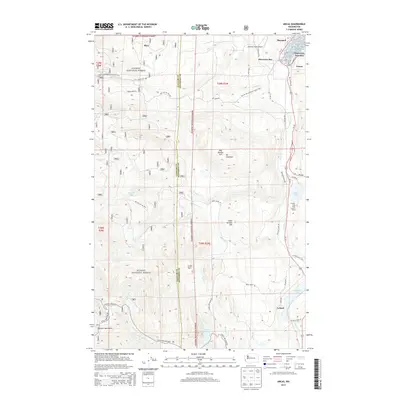
2014 Map of Uncas
USGS Topo · Published 2014About this map
Olympic National Forest dominates the western portion of this landscape, where the Olympic Mountains rise above the drainage basins of the Little Quilcene River and Snow Creek. This 2014 survey captures the rural infrastructure of Jefferson and Clallam counties, anchored by the north-south corridor of Us-101. Along this route, small settlements such as Uncas, Leland, and Maynard sit near the southern reaches of Discovery Bay. The map highlights a transition from the industrial and transport-oriented landscape near Discovery Junction and the Olympic Field Airport to the more secluded terrain of Cedar Flat. Water resources are central to the area's geography, with Lords Lake and Leland Lake providing significant landmarks for local history and recreation, alongside the Pacific NW National Scenic Trail which winds through the eastern hills near Mt Chatham.
Find a feature on this map
53 named features on this map. Tap any name to fly to it.
Don’t see what you’re looking for? This feature index may not catch every label — zoom into the map to look around manually.
Map Details
Editions of this 2014 Uncas Map
This is the sole edition of this map. No revisions or reprints were ever made.
Other maps of this area

1938 · Mt Constance
USGS Topo · 1:125,000

1938 · Dungeness
USGS Topo · 1:62,500

1939 · Port Townsend
USGS Topo · 1:62,500

1939 · Dungeness
USGS Topo · 1:62,500

1940 · Quilcene
USGS Topo · 1:62,500

1946 · Tyler Peak
USGS Topo · 1:62,500

1948 · Tyler Peak
USGS Topo · 1:62,500

1953 · Quilcene
USGS Topo · 1:24,000

1953 · Mt. Walker
USGS Topo · 1:24,000

1953 · Center
USGS Topo · 1:24,000