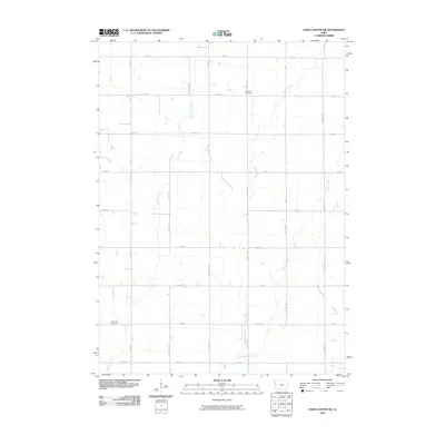
2010 Map of Union Center SW
USGS Topo · Published 2010About this map
Lincoln Cemetery and Concordia Cemetery serve as the primary historic landmarks in this rural Woodbury County landscape, where an orderly grid of roads defines the agricultural layout. The terrain is structured by a sequence of waterways, most notably Big Whisky Creek and Elliott Creek, which carve through the sectional divisions. The road network, including thoroughfares like Lake Ave and 6th Ave SW, reflects a long-standing commitment to the township's agricultural productivity. These watercourses, including Muddy Creek and West Mud Creek, dictate the drainage patterns across the survey area, influencing the placement of homesteads and the orientation of local routes like 300th St and 140th St. This 2010 depiction provides a precise look at the rural infrastructure and the persistent natural drainage features that have shaped Woodbury County's farming history.
Find a feature on this map
27 named features on this map. Tap any name to fly to it.
Don’t see what you’re looking for? This feature index may not catch every label — zoom into the map to look around manually.
Map Details
Editions of this 2010 Union Center SW Map
This is the sole edition of this map. No revisions or reprints were ever made.
Other maps of this area

1955 · Sioux City
USGS Topo · 1:250,000

1958 · Sioux City
USGS Topo · 1:250,000

1959 · Sioux City
USGS Topo · 1:250,000

1962 · Union Center
USGS Topo · 1:62,500

1964 · Sergeant Bluff
USGS Topo · 1:24,000

1964 · James
USGS Topo · 1:24,000

1964 · Hinton
USGS Topo · 1:24,000

1964 · Lawton
USGS Topo · 1:24,000

1964 · Moville
USGS Topo · 1:24,000
1985 · Union Center
USGS Topo · 1:24,000