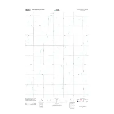
2013 Map of Union Center SW
USGS Topo · Published 2013About this map
Big Whisky Cr and Muddy Cr define the drainage patterns of this Woodbury County agricultural landscape during the early 21st century. The terrain is organized by a precise grid of rural section roads, including Kestrel Ave, Lake Ave, and Franklin Ave, which serve the scattered farmsteads of the region. This 2013 survey illustrates the endurance of the township-and-range survey system, where nearly every mile is marked by a named thoroughfare such as 300th St or c70. The sparse density of named settlements highlights a purely agrarian economy centered on small watercourses like Elliott Cr and W Mud Cr, which meander through the open fields between the straight lines of the county road network.
Find a feature on this map
30 named features on this map. Tap any name to fly to it.
Don’t see what you’re looking for? This feature index may not catch every label — zoom into the map to look around manually.
Map Details
Editions of this 2013 Union Center SW Map
This is the sole edition of this map. No revisions or reprints were ever made.
Other maps of this area
1955 · Sioux City
USGS Topo · 1:250,000
1958 · Sioux City
USGS Topo · 1:250,000
1959 · Sioux City
USGS Topo · 1:250,000
1962 · Union Center
USGS Topo · 1:62,500
1964 · Sergeant Bluff
USGS Topo · 1:24,000
1964 · James
USGS Topo · 1:24,000
1964 · Hinton
USGS Topo · 1:24,000
1964 · Lawton
USGS Topo · 1:24,000
1964 · Moville
USGS Topo · 1:24,000
1985 · Union Center
USGS Topo · 1:24,000