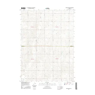
2015 Map of Union Center SW
USGS Topo · Published 2015About this map
Big Whisky Cr and Muddy Cr carve paths through this agricultural landscape on the border of Plymouth and Woodbury Counties. The terrain is defined by a systematic grid of section lines and rural roads, such as Co Hwy D18 and k49, which facilitate movement between the vast farmsteads of the region. This 2015 survey reflects a long-standing pattern of Midwestern land use, where small, localized landmarks serve as the primary anchors for the community. Among these are the Lincoln Cem and Concordia Cem, which offer significant value for genealogists tracing family roots in this corner of Iowa. The map also captures the smaller drainage networks like Elliott Cr and W Mud Cr, which are essential features for understanding the local hydrology and its impact on the surrounding townships.
Find a feature on this map
38 named features on this map. Tap any name to fly to it.
Don’t see what you’re looking for? This feature index may not catch every label — zoom into the map to look around manually.
Map Details
Editions of this 2015 Union Center SW Map
This is the sole edition of this map. No revisions or reprints were ever made.
Other maps of this area
1955 · Sioux City
USGS Topo · 1:250,000
1958 · Sioux City
USGS Topo · 1:250,000
1959 · Sioux City
USGS Topo · 1:250,000
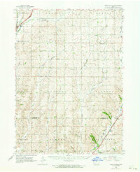
1962 · Union Center
USGS Topo · 1:62,500
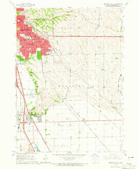
1964 · Sergeant Bluff
USGS Topo · 1:24,000
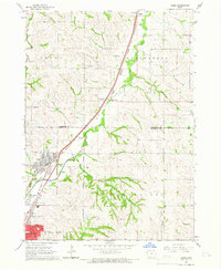
1964 · James
USGS Topo · 1:24,000
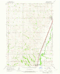
1964 · Hinton
USGS Topo · 1:24,000
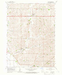
1964 · Lawton
USGS Topo · 1:24,000
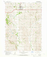
1964 · Moville
USGS Topo · 1:24,000
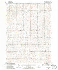
1985 · Union Center
USGS Topo · 1:24,000